What is recorded here
In improved pasture which is liable to floods, 40m S of a farm trackway and 65m SW of the River Mahore which also marks a townland boundary with Oldtown (Bennett). Ring-barrow (LI032-153002-) lies 30m to N. Not depicted on OSi historic maps. Identified as a ring-barrow (Site 5) by Christine Tarbett and described as ‘This barrow nearest to the farm buildings and due E from them sits slightly elevated in the field. It has an external diameter of 13m and is circular in outline. The interior platform measures 7m in diameter. The ring-ditch is well defined where it measures circa 15cm in depth 1.3m in width. An enclosing bank is mostly continuous all around but low sited in the NE and E,’ (Tarbett 1987, 52). Monument is not visible on OSi orthoimages taken 2005-2012 or on Digital Globe orthoimages taken 2011-2013, although a small circular-shaped cropmark (diam. 7m) can be seen on Google Earth orthoimage taken 20/09/2020.
See attached Google Earth orthoimage and a location map (Site 5) and sketch plan by Christine Tarbett (1987, 50 and 53).
Compiled by: Alison McQueen and Vera Rahilly
Date of upload: 9 November 2020
The monument record does not grant public access. Check the route and ask the landowner before entering private land.
- What survives
- Recorded monument
Places near here
 Ahnageeragh Bridgebridge · 181 yd
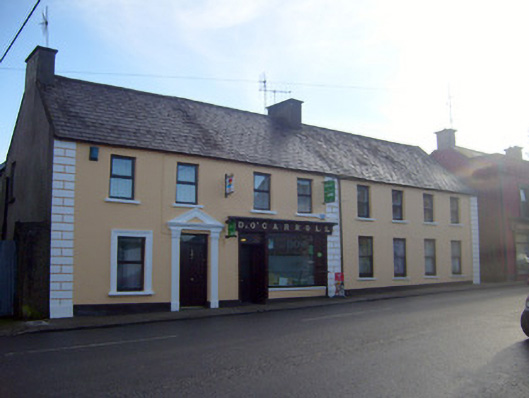 D. O'Carrollhouse · 767 yd
 BarrowBarrow, bowl-barrow · 769 yd
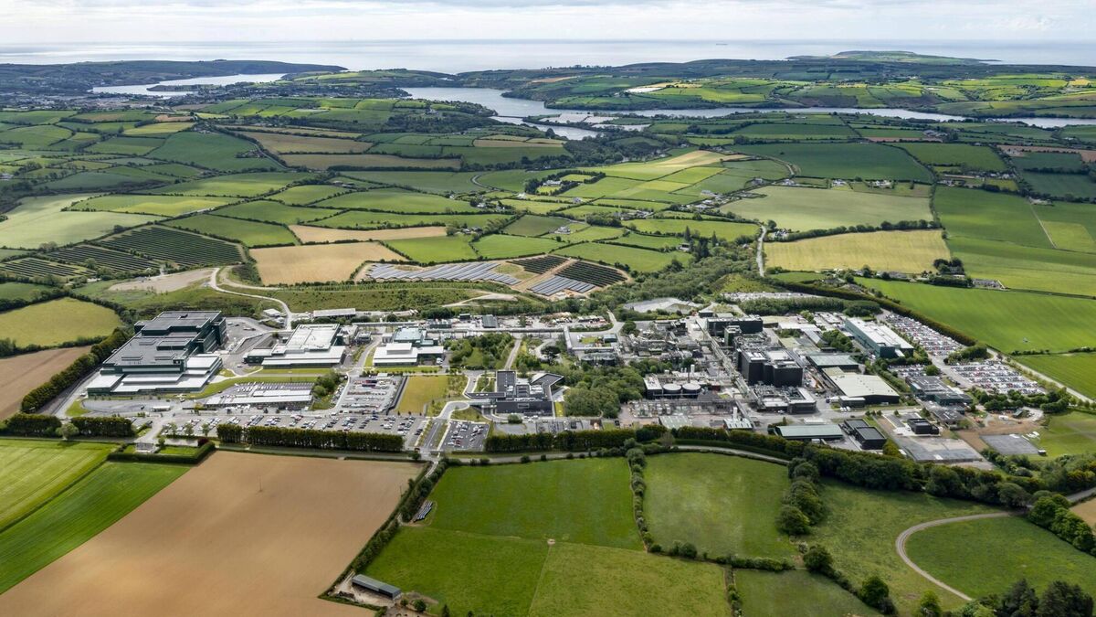 Settlement cluster in BarrysfarmSettlement cluster · 780 yd
 CastleCastle, motte · 1717 yd
 Flat cemetery in Knockainy WestFlat cemetery · 1.4 mi
 Mote - HachuredCastle, motte · 1.8 mi
 St Patrick's WellSpring · 3.2 mi
 Kilteely HillMountain / peak · 3.2 mi
 St. Patrick's WellSpring · 3.7 mi
 Ballinvreena LoopVisitor information · 5.8 mi
 SlievereaghMountain / peak · 6.6 mi