
What is recorded here
Earthwork described in 1942-3 as following; 'This consists of a flat topped mound around which is an inner fosse. Leading across this fosse at the E.S.E. side is a narrow causeway. Outside this fosse is a very narrow, low bank, and the causeway across the inner fosse leads on to this. Outside the inner bank there is the middle fosse, which is shallow. Leading across this on the south side is another causeway which connects with the middle bank, which also is low and narrow. Outside this is the outer fosse, and this is crossed by four causeways, all on the west and south sides. These four lead on to the inner slope of the outer bank, which is broad and fairly high. This bank is broken in three places, all of which seem to be accidental. The causeways across the fosses are not opposite one another. The whole monument has been cut through by a fence with a drain on each side. This runs east-west a little north of the centre of the mound. The monument on the north side of this fence has been badly defaced. The low banks are not visible as they have been covered by a large spoil heap accumulated from the cleaning of the drain. Nothing has been found in the making or cleaning of the drains where they run through the monument. The height of the mound over the fosse-bottom is 8' [2.4m] and the overall diameter 300' [100m]. Situated in marshy low-land' (O'Kelly 1942-3, 238). Outline of S half of extant monument bisected by field drain clearly visible today on Digital Globe aerial photographs.
Compiled by: Caimin O'Brien
Date of upload: 6 March 2020
Bowl barrow, likely dating to the Early Bronze Age. Its construction with an inner fosse and causeway indicates a significant ceremonial or funerary site, typical of burial practices in this period.
The monument record does not grant public access. Check the route and ask the landowner before entering private land.
- What survives
- Recorded monument
Places near here
 Ahnageeragh Bridgebridge · 909 yd
 CastleCastle, motte · 1158 yd
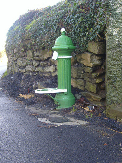 water pumpwater pump · 1184 yd
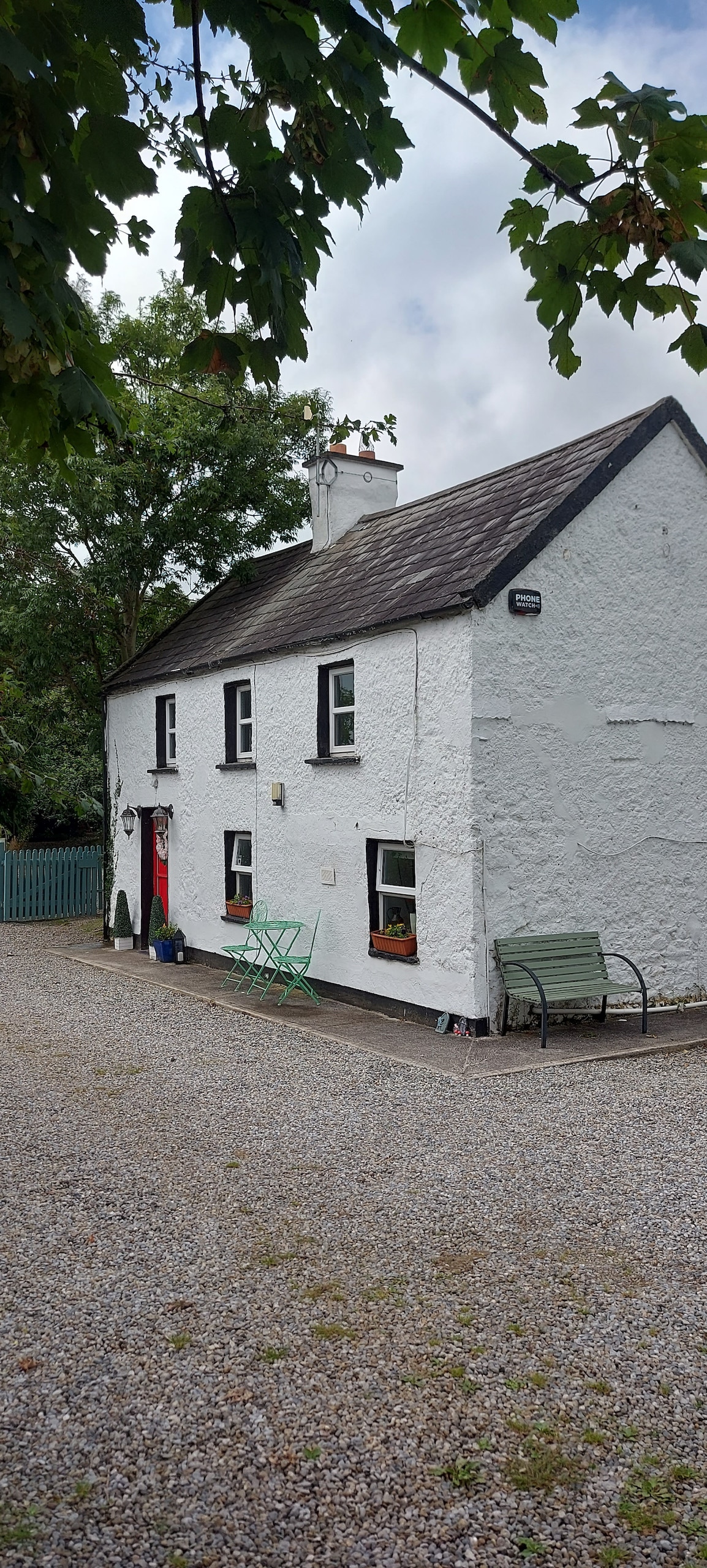 Enclosure in CastlefarmEnclosure · 1262 yd
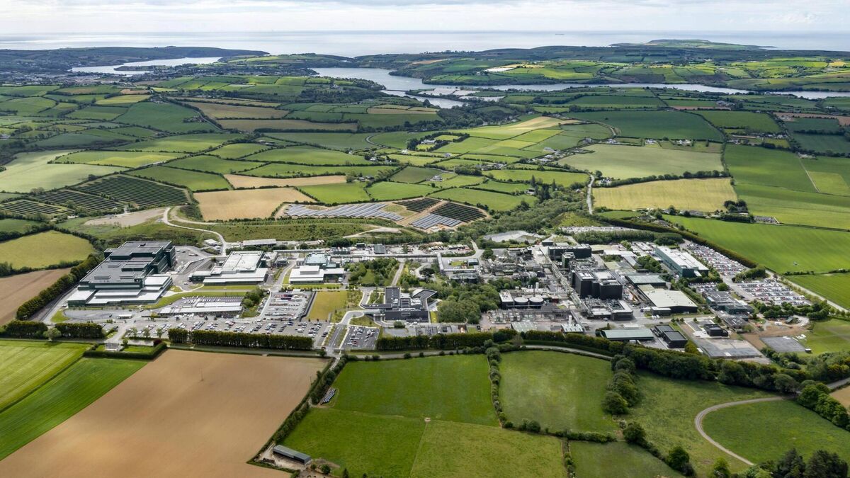 Settlement cluster in BarrysfarmSettlement cluster · 1439 yd
 Mote - HachuredCastle, motte · 1.6 mi
 Flat cemetery in Knockainy WestFlat cemetery · 1.7 mi
 St Patrick's WellSpring · 2.8 mi
 Kilteely HillMountain / peak · 3.5 mi
 St. Patrick's WellSpring · 4.0 mi
 Ballinvreena LoopVisitor information · 5.5 mi
 SlievereaghMountain / peak · 6.3 mi
Other information
Photo: Credit not shown in the picture search · Rights wording not checked; contact us if this picture should be removed