
What is recorded here
Situated in rough pasture on a gentle ESE facing slope of Lateevemore, commanding an extensive view, particularly SE towards Dingle Harbour. A circular platform, 12m in diameter, is enclosed by a fosse, 1.5m wide, and an external bank c. 3m wide, the overall diameter averaging 23m. The bank measures c. 0.45m high…
Read the whole record
From the National Monuments Service (Archaeological Survey of Ireland) record KE043-123
Places near here
Photo credits
- Maker not stated on source page, www.irishmirror.ie
- Maker not stated on source page, www.isle-of-mull.net
- Maker not stated on source page, electricbluefood.com
- Maker not stated on source page, www.alamy.com
- Maker not stated on source page, tr.pinterest.com
- Ingo Mehling, Wikimedia Commons · CC BY-SA 3.0
- Maker not stated on source page, br.pinterest.com
- Boston at English Wikipedia, Wikimedia Commons · Public domain
- Mick Garratt, Geograph · CC BY-SA 2.0
- Seandálaí, Wikimedia Commons · CC BY-SA 4.0
- Ramsey Cardy / Sportsfile, credited in The Irish Times caption, www.irishtimes.com
 Fairy fort / earthen ringfort in Cnoc An Bhróigín ThiarFairy fort / earthen ringfort · 682 yd
Explorer Tom Fairy fort / earthen ringfort in Cnoc An Bhróigín Thiar inspired a terrible poem once. 'Oh ring, oh round, oh muddy…
 Standing stone in Leataoibh MórStanding stone · 947 yd
Explorer Tom Standing stone in Leataoibh Mór is technically gone but still thinks it can survive a zombie attack by just standing…
 Kildrum GraveyardGraveyard · 1047 yd
Explorer Tom Kildrum Graveyard in County Kerry is explaining the 1800s to a teenager who just discovered Wi-Fi. It says everyone…
 Cross-inscribed stone in An Baile Íochtarach (par. Cill Dromann)Cross-inscribed stone · 1050 yd
Explorer Tom Cross-inscribed stone in An Baile Íochtarach was nearly sold for a horse once, which is basically the same price as its…
 Fairy fort / earthen ringfort in Baile Na NáithFairy fort / earthen ringfort · 1189 yd
Explorer Tom Baile Na Náith’s rath keeps secrets that only come out after three pints of stout. It’s packed with old burial stones…
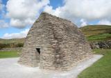 Gallarus OratoryHeritage attraction · 1589 yd
Explorer Tom Gallarus can shrug off Kerry rain better than my old coat. Gallarus Oratory has the shape of an overturned stone boat…
 Church in Leataoibh MórChurch · 1625 yd
Explorer Tom The Church in Leataoibh Mór hears what the seagulls say about it, and they are not exactly singing its praises today.…
 Gallarus CastleCastle · 1.3 mi
Explorer Tom Gallarus Castle rises above Baile na nGall on the Dingle Peninsula, a four-storey tower that seems to have borrowed the…
 Gallarus Castle (in ruins)Castle, tower house · 1.3 mi
Explorer Tom Gallarus Castle sits by Smerwick Harbour, acting like it’s the main event when it’s just a tower. I heard a fox took…
 Mapped cemeteryCemetery · 1.3 mi
Explorer Tom Mapped cemetery in County Kerry supposedly had a smuggling ring operating from the back corner, moving crates of what…
 Oratory (in ruins)Church · 1.5 mi
Explorer Tom The Oratory in Cill Maoilchéadair is drafting a formal complaint to the council about all this damp getting into its…
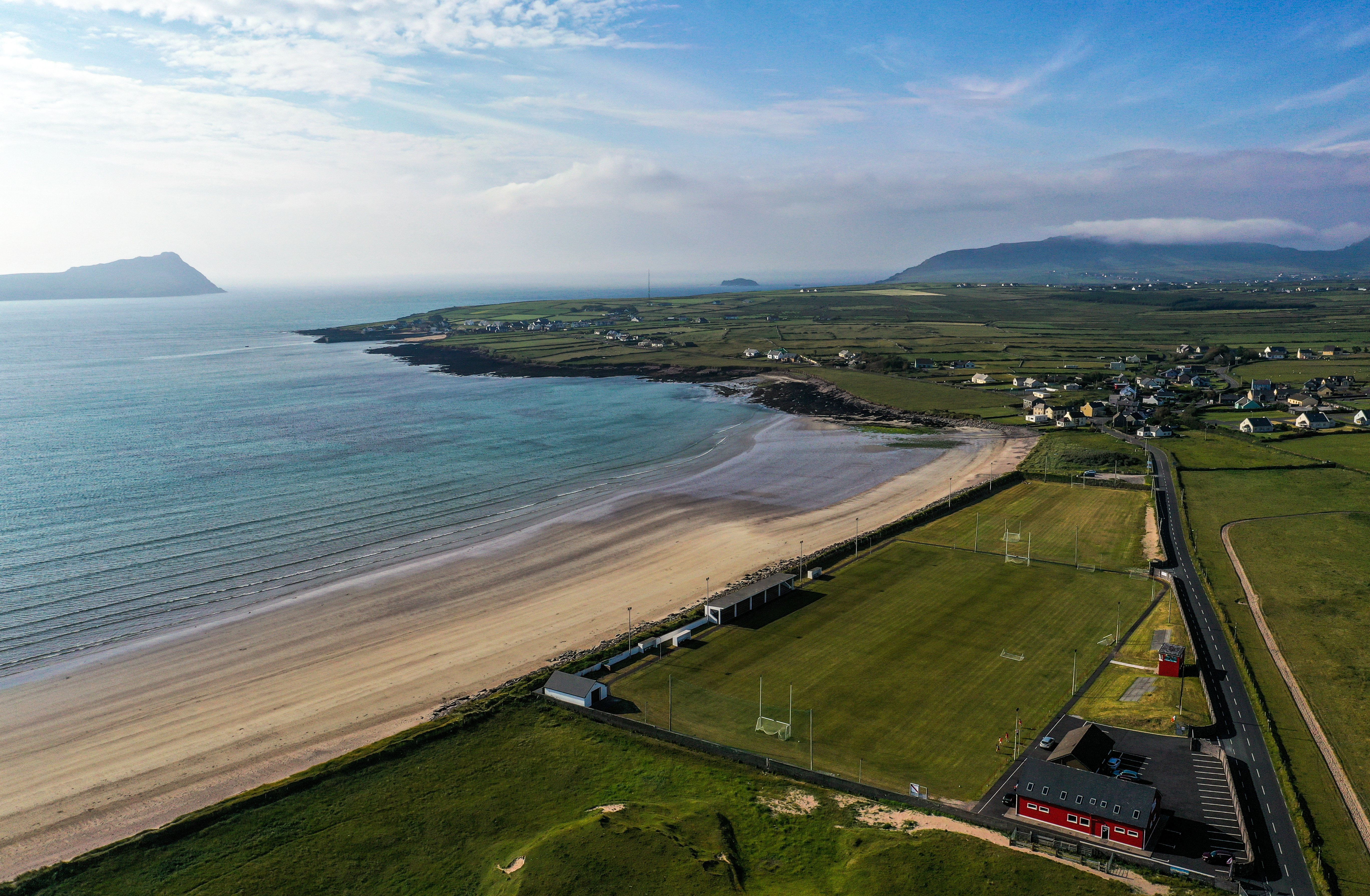 Gallarus, An GhaeltachtGAA ground · 1.8 mi
More archaeology and monuments in County Kerry · All of County Kerry

What do you know about this place?Tap to add a comment or ask a question