What is recorded here
On poorly drained reclaimed grassland, one of a cluster of 10 barrows (LI024-219/220----; LI024-325/-332----) which make up a possible barrow cemetery. Outline of ring-barrow visible on OSi orthophoto taken 2005-12.
See attached Google Earth orthoimage taken 18/11/2018, courtesy of Ed O'Donovan
Compiled by: Caimin O'Brien based on details provided by Edmond O'Donovan
Date of upload: 8 September 2020
Ring-barrow, likely dating to the Early Bronze Age. Part of a significant barrow cemetery indicating early burial practices and settlement patterns in the region.
The monument record does not grant public access. Check the route and ask the landowner before entering private land.
- What survives
- Recorded monument
Places near here
 Field system in CloghaderreenField system · 169 yd
 BarrowBarrow, embanked barrow · 335 yd
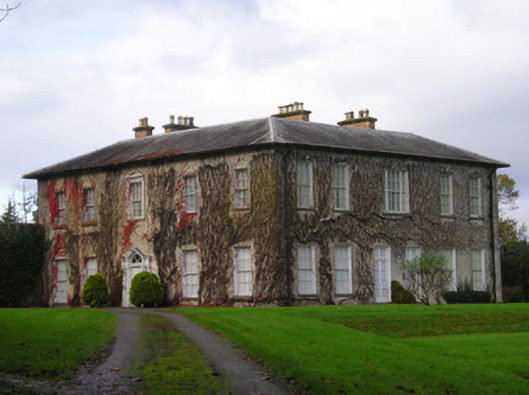 Derkcountry house · 693 yd
 (Site of) CastleCastle, unclassified · 1157 yd
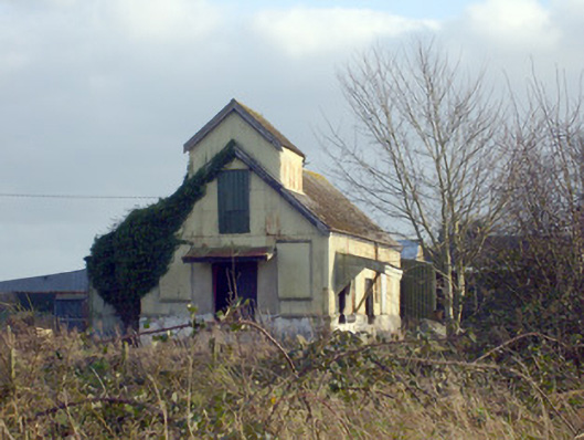 Race Creamerycreamery · 1194 yd
 Pallas MoatCastle, motte · 1244 yd
 KnockseefinMountain / peak · 2.0 mi
 St. Patrick's WellSpring · 2.3 mi
 Kilteely HillMountain / peak · 2.6 mi
 Flat cemetery in Knockainy WestFlat cemetery · 6.3 mi
 St Patrick's WellSpring · 7.6 mi
 Ballinvreena LoopVisitor information · 11 mi