What is recorded here
In pasture, on N-facing slope. Circular area (9.15m N-S; 9.5m E-W) enclosed by fosse with outer bank (int. H 0.85m; ext. H 0.4m). Interior planted with trees.
The above description is derived from the published 'Archaeological Inventory of County Cork. Volume 4: North Cork' (Dublin: Stationery Office, 2000). In certain instances the entries have been revised and updated in the light of recent research.
Date of upload/revision: 14 January 2009
Ring-barrow, likely dating to the Early Bronze Age. This type of burial monument is significant as it reflects early communal burial practices and social organization in prehistoric Britain.
The monument record does not grant public access. Check the route and ask the landowner before entering private land.
- What survives
- Recorded monument
Places near here
 Fulacht fia in Castlewrixon SouthFulacht fia · 177 yd
 Fulacht FiadhFulacht fia · 879 yd
 CastleCastle, unclassified · 947 yd
 Castle Wrixonhouse · 1065 yd
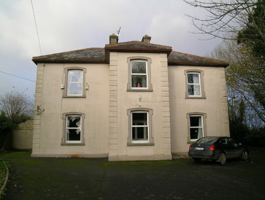 presbytery/parochial/curate's housepresbytery/parochial/curate's house · 1587 yd
 CarrigeenMountain / peak · 1.2 mi
 Castle (Site of)Castle, unclassified · 1.7 mi
 BallinaboolaVisitor information · 2.1 mi
 Ballyhoura WayWalking route · 2.8 mi
 Rogan's Rock CovertWood · 2.9 mi
 Carron MountainMountain / peak · 3.4 mi
 Buttevant Rail DisasterMemorial · 4.3 mi