What is recorded here
Situated just below summit of hilltop on rough grazing land in upland area. Outline of possible ring-barrow (approx. overall diam. 11m) consisting of a circular-shaped area (approx. diam. 7m) enclosed by a fosse that is visible on Google earth aerial imagery. Possible ring-barrow stands on the county boundary between Kildare and Dublin and the townland boundary between Castlewarden North and Castlewarden, Co. Dublin.
See attached image taken from Google Earth aerial photograph taken 24/06/2018
Compiled by: Caimin O'Brien
Date of upload: 10 March 2020
A Neolithic ring-barrow; its presence indicates early ceremonial or funerary activity in the upland landscape.
The monument record does not grant public access. Check the route and ask the landowner before entering private land.
- What survives
- Recorded monument
Places near here
 Wards WellHoly well · 955 yd
 Cave siteMan-made underground passage · 994 yd
 Castlewarden MoatCastle, motte and bailey · 1255 yd
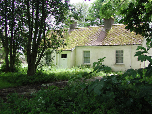 The Cottagehouse · 1337 yd
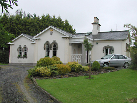 Steelstown Lodgegate lodge · 1672 yd
 Colmanstown Castle (in ruins)Castle, tower house · 1723 yd
 Cullen's Hill WoodWood · 1.2 mi
 Arthur Guinness GraveMemorial · 1.4 mi
 Oughterard Round TowerHeritage attraction · 1.4 mi
 Athgoe HillMountain / peak · 1.4 mi
 Icehouse WoodWood · 1.5 mi
 Saint Finian's WellSpring · 2.0 mi