What is recorded here
Barrow is a barrow, ring-barrow in Carrigeens (carbury By.), County Sligo, Ireland. It stands on a lawn in the rear garden of a dwelling immediately east of a megalithic tomb. The central mound and outer bank appear as a slight rise above the grass, with the western edge fading into the ground beside the tomb remains.
Situated on a lawn in the rear garden of a dwelling. The ring-barrow stands immediately E of the remains of a megalithic tomb (SL007-040001-). It measures c. 6.5-7m in diameter. The central mound (diam. c. 3m) and outer-bank (Wth 1-1.2m) are visible as a slight rise (0.1-0.15m) above the surface of the lawn. The outer element of the bank at W fades into a slight rise in ground surface where it borders the remains of the megalithic tomb.
SL007-040002-_01.pdf Plan of ringbarrow
SL007-040002-_01.JPG Ringbarrow viewed from W
SL007-040002-_01.JPG Ringbarrow viewed from SE, outer bank visible as yellowish grass, with possible megalithic tomb (SL007-040001-) on W edge.
Compiled by: Paul Walsh
Date of upload: 20 April 2012
A Neolithic ring-barrow, dating to the 4th–3rd millennium BCE, associated with early megalithic funerary practices; its location near a megalithic tomb suggests a significant ritual or burial landscape.
The monument record does not grant public access. Check the route and ask the landowner before entering private land.
- What survives
- Recorded monument
Places near here
 LisheenFairy fort / earthen ringfort · 1121 yd
 Enclosure in CloghcorEnclosure · 1334 yd
 Bawn in DoonforeBawn · 1359 yd
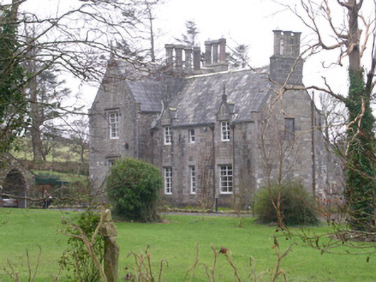 The Rectoryrectory/glebe/vicarage/curate's house · 1632 yd
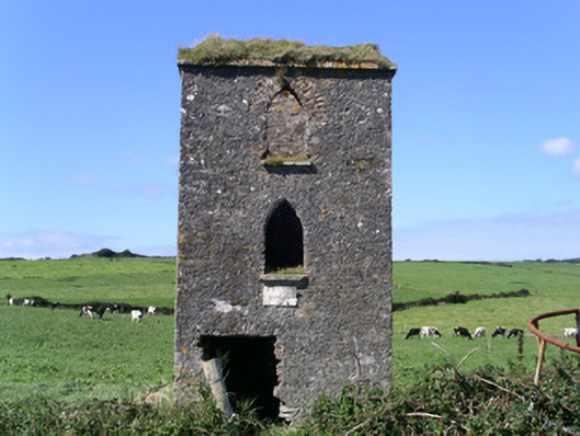 John's Portbuilding misc · 1.1 mi
 Forester's WoodForest · 1.4 mi
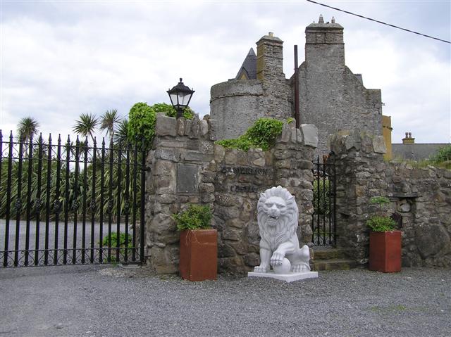 Bawn in ArdtermonBawn · 1.4 mi
 Ardtermon StrandBeach / strand · 1.7 mi
 Church Hill WoodWood · 1.7 mi
 Yellow StrandBeach / strand · 2.1 mi
 Coastguard StationRuins · 2.5 mi
 Drumcliff BayBay · 2.6 mi