What is recorded here
In reclaimed pasture, 150m from Morningstar River that marks townland boundary with Camas South and 140m NW of excavation site (LI031-115----). Not depicted on historic OSi maps. Possible earthwork identified from examination of aerial photographs dated 06/11/1984 associated with Bórd Gáis Éireann Curraghleigh West-Limerick gas pipeline (map 6, Site 6/1). Monument visible as an oval-shaped area (dims. c. 7m NW-SE; 11m NE-SW) defined by a fosse with external bank on Google Earth orthoimages. A curvilinear feature visible on Google Earth orthoimage dated 04/04/2013 represents the remains of a watercourse running either side of the monument.
See attached Google Earth orthoimages
Compiled by: Fiona Rooney
Date of upload: 29 March 2021
A ring-barrow, likely dating to the Early Bronze Age. Its location near an excavation site suggests potential links to broader funerary or ritual practices in the region.
The monument record does not grant public access. Check the route and ask the landowner before entering private land.
- What survives
- Recorded monument
Places near here
 BarrowBarrow, ditch barrow · 459 yd
 Enclosure in Carrigeen (smallcounty By.)Enclosure · 479 yd
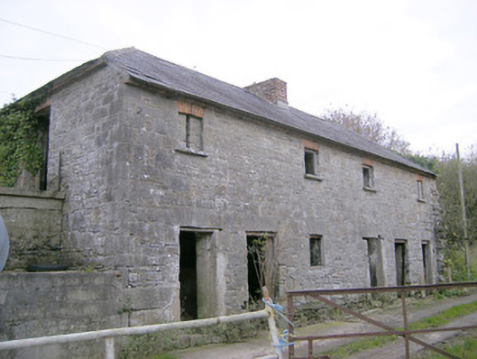 Camas Houseoutbuilding, bridge · 502 yd
 IndicatedChurch · 971 yd
 (Site of) Tullabracky CastleCastle, unclassified · 1.6 mi
 Castle (in ruins)Castle, unclassified · 1.8 mi
 Lough GurVisitor information · 3.0 mi
 Grange Stone CircleArchaeological place · 3.0 mi
 Pedunculate OakPedunculate Oak · 3.9 mi
 KnockainyMountain / peak · 4.8 mi
 Banoge's WellSpring · 5.0 mi
 European ashEuropean ash · 5.4 mi