
What is recorded here
On wet flat pasture, 105m SE of the Morningstar River that forms townland boundary with Carrigeen. Enclosures (LI031-195/184----) lie 26m to SW and 20m to NW respectively. Not depicted on OSi historic maps. Identified by Bruff aerial photographic survey in 1986 (Bruff 51.02: AP 4/2061) as a circular-shaped enclosure. Faint trace of circular cropmark visible on OSi orthophoto taken between 2005-12 and on Google Earth orthoimage dated 20/09/2020. Cropmark of ring-ditch (diam. c. 15m) visible on Google Earth orthoimage dated 04/04/2013. Possible ditch-barrow.
See Google Earth orthoimages
Compiled by: Fiona Rooney
Date of upload: 1 April 2021
A ditch barrow, likely dating to the Early Bronze Age. Its presence suggests ritual or funerary activity in a low-lying, possibly wetland landscape, which is significant for understanding burial practices in such environments during the Bronze Age.
The monument record does not grant public access. Check the route and ask the landowner before entering private land.
- What survives
- Recorded monument
Places near here
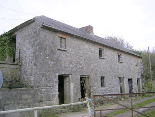 Camas Houseoutbuilding, bridge · 406 yd
 Enclosure in Carrigeen (smallcounty By.)Enclosure · 729 yd
 IndicatedChurch · 1043 yd
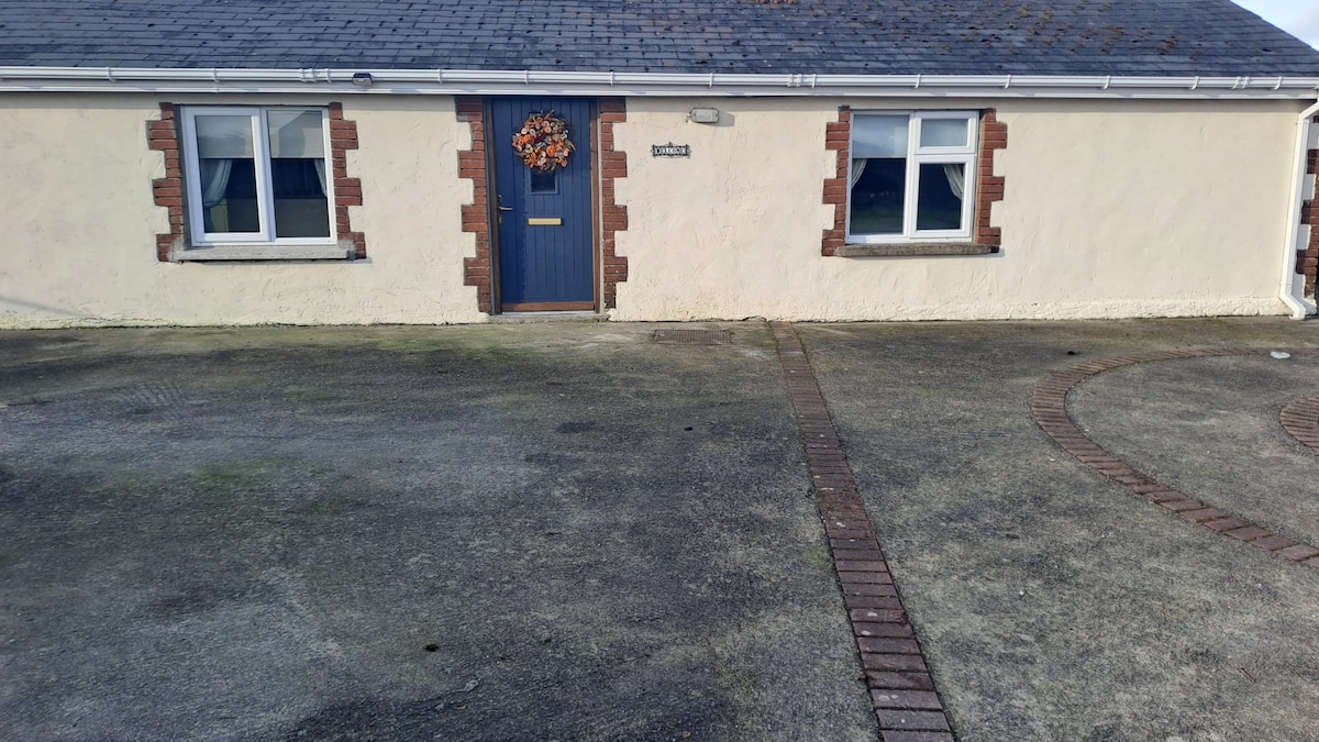 CaheradrominFairy fort / earthen ringfort · 1379 yd
 (Site of) Tullabracky CastleCastle, unclassified · 1.6 mi
 Castle (in ruins)Castle, unclassified · 1.6 mi
 Lough GurVisitor information · 3.1 mi
 Grange Stone CircleArchaeological place · 3.1 mi
 Pedunculate OakPedunculate Oak · 4.0 mi
 KnockainyMountain / peak · 4.6 mi
 Banoge's WellSpring · 5.2 mi
 European ashEuropean ash · 5.3 mi
Other information
Photo: Credit not shown in the picture search · Rights wording not checked; contact us if this picture should be removed