What is recorded here
At the bottom of a broad NW-SE valley. Circular overgrown platform (diam. 7m) defined by a fosse (at NE: Wth of top 5m; Wth of base 2.2m; int. D 1.05m; ext. D 1.3m) separated by a bank (at NE: Wth of top 0.9m; Wth of base 5.1m; ext. H 1.35m) from an outer fosse (at NE: Wth of top 7m; Wth of base 3.3m; ext. D 0.75m) and second outer bank (at NE: Wth of top 1.2m; Wth of base 3.7m; ext. H 0.35m). The entire monument is completely overgrown (max. ext. diam. c. 39m).
Compiled by: Michael Moore
Date of upload: 24 August 2010
A ring-barrow, likely dating to the Early Bronze Age. Its construction and positioning suggest a ceremonial or funerary function, typical of burial monuments in this period.
The monument record does not grant public access. Check the route and ask the landowner before entering private land.
- What survives
- Recorded monument
Places near here
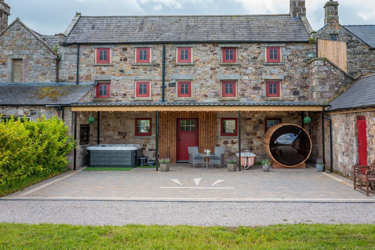 Embanked enclosureFairy fort / earthen ringfort · 1045 yd
 IndicatedFairy fort / stone ringfort · 1500 yd
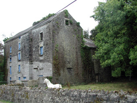 Lecarrow Millmill (water) · 1.4 mi
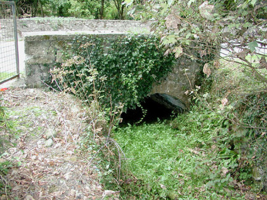 bridgebridge · 1.4 mi
 InchmoreIslet · 1.5 mi
 InchihicleleyIslet · 1.7 mi
 CastleCastle, tower house · 1.7 mi
 Castle (Site of)Castle, unclassified · 2.5 mi
 Blackbrink BayBay · 2.8 mi
 Hangman's HillMountain / peak · 3.2 mi
 Galey BayBay · 3.3 mi
 St. John's WoodWood · 3.4 mi