What is recorded here
In reclaimed pasture. The site of an enclosure (LI024-324-) lies 60m to ENE which is depicted on the 1840 ed. OS 6-inch amp. A ring-barrow (LI024-125----) lies 240m to ESE. Not depicted on OS historic mapping. Monument identified as a semicircular-shaped earthwork by the Bruff aerial photographic survey in 1986 (Bruff 126: AP 4/3721). Monument is vaguely traceable as a semicircular-shaped cropmark (approx. dims. 10m NE-SW; 8.5m NW-SE), on the E side of a field boundary, on Digital Globe orthophotos taken 2011-13 and on Google Earth orthoimages taken 28/06/2018. There is no visible trace of the monument on the WNW side of the field boundary.
See attached Google Earth orthoimage and Bruff aerial survey image
Compiled by: Alison McQueen and Vera Rahilly
Date of upload: 23 July 2020
This remains an important historical record, but the official description says the monument is no longer visible or has been destroyed. The monument record does not grant public access. Check the route and ask the landowner before entering private land.
- What survives
- No visible remains or recorded as destroyed
Places near here
 Enclosure in LinfieldEnclosure · 821 yd
 Church in LinfieldChurch · 833 yd
 TobernarughillaHoly well · 886 yd
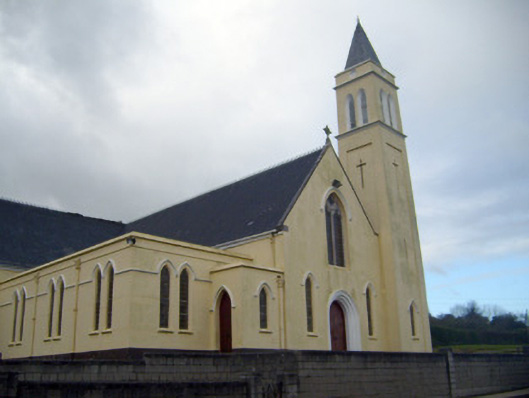 Catholic Church of Saint John the Baptistchurch/chapel · 1106 yd
 (Site of) Nicker CastleCastle, unclassified · 1120 yd
 KnockseefinMountain / peak · 1229 yd
 Kilduff Castle (in ruins)Castle, tower house · 1.3 mi
 ToberagaddySpring · 1.4 mi
 St. Patrick's WellSpring · 3.5 mi
 Kilteely HillMountain / peak · 4.0 mi
 Graveyard in AbingtonGraveyard · 5.0 mi
 Flat cemetery in Knockainy WestFlat cemetery · 7.9 mi