What is recorded here
On W-facing slope, in reclaimed pasture. Possible ring-barrow (LI024-126002-) conjoined to ESE. Not depicted on OS historic mapping. Monument identified as a circular-shaped conjoined earthwork by the Bruff aerial photographic survey in 1986 (Bruff 127(01): AP 4/3721). Monument visible as a circular-shaped earthwork (approx. diam. 11m) defined by a distinct fosse, on Digital Globe orthophotos taken 2011-13 and on Google Earth orthoimages taken 18/11/2018.
See attached Google Earth orthoimage and Bruff aerial survey image
Compiled by: Alison McQueen and Vera Rahilly
Date of upload: 23 July 2020
A Neolithic ring-barrow; part of a broader class of burial monuments significant for understanding early communal burial practices in Ireland. Its conjoined form suggests possible later modification or alignment with adjacent features.
The monument record does not grant public access. Check the route and ask the landowner before entering private land.
- What survives
- Recorded monument
Places near here
 Enclosure in LisheenEnclosure · 519 yd
 Enclosure in Garrane MoreEnclosure · 651 yd
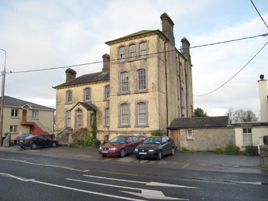 Pallas Grean Constabulary BarrackRIC barracks · 1132 yd
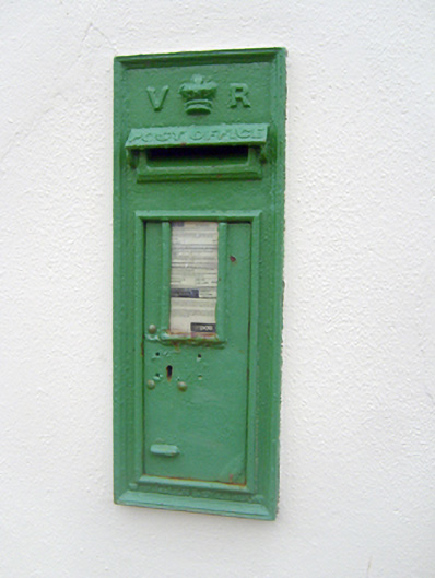 post boxpost box · 1172 yd
 (Site of) Nicker CastleCastle, unclassified · 1246 yd
 KnockseefinMountain / peak · 1498 yd
 Kilduff Castle (in ruins)Castle, tower house · 1.0 mi
 ToberagaddySpring · 1.2 mi
 St. Patrick's WellSpring · 3.7 mi
 Kilteely HillMountain / peak · 4.1 mi
 Graveyard in AbingtonGraveyard · 5.1 mi
 Flat cemetery in Knockainy WestFlat cemetery · 8.1 mi