What is recorded here
On W-facing slope, in reclaimed pasture. Ring-barrow (LI024-126001-) conjoined to WNW. Not depicted on OS historic mapping. Monument identified as a circular-shaped conjoined earthwork by the Bruff aerial photographic survey in 1986 (Bruff 127(02): AP 4/3721). Monument is visible as a circular-shaped earthwork (diam. 10m) on Digital Globe orthophotos taken 2011-13 and on Google Earth orthoimages taken 18/11/2018.
See attached Google Earth orthoimage and Bruff aerial survey image
Compiled by: Alison McQueen and Vera Rahilly
Date of upload: 23 July 2020
A Neolithic ring-barrow, c. 2500–2000 BCE, likely used as a burial monument. Its conjoined form and identification through aerial photography highlight the value of landscape archaeology in uncovering prehistoric funerary practices.
The monument record does not grant public access. Check the route and ask the landowner before entering private land.
- What survives
- Recorded monument
Places near here
 Enclosure in LisheenEnclosure · 510 yd
 Enclosure in Garrane MoreEnclosure · 639 yd
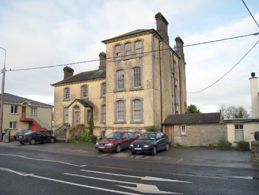 Pallas Grean Constabulary BarrackRIC barracks · 1120 yd
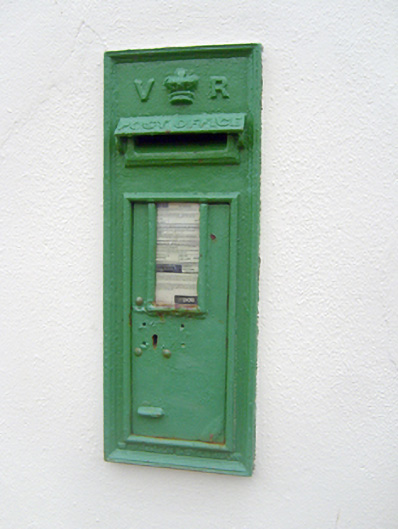 post boxpost box · 1167 yd
 (Site of) Nicker CastleCastle, unclassified · 1242 yd
 KnockseefinMountain / peak · 1496 yd
 Kilduff Castle (in ruins)Castle, tower house · 1.0 mi
 ToberagaddySpring · 1.2 mi
 St. Patrick's WellSpring · 3.7 mi
 Kilteely HillMountain / peak · 4.1 mi
 Graveyard in AbingtonGraveyard · 5.1 mi
 Flat cemetery in Knockainy WestFlat cemetery · 8.1 mi