What is recorded here
Located towards the bottom of a SW-facing slope. This is a small grass-covered circular area (int. diam. c. 10m; ext. diam. c. 15m) defined by a slight earthen bank and may have entrance gaps at E and W. It is visible on Google Earth (19/03/2015; 03/04/0222).
See the attached view from Google Earth (03/04/2022)
Compiled by: Michael Moore
Date of upload: 9 March 2023
The monument record does not grant public access. Check the route and ask the landowner before entering private land.
- What survives
- Recorded monument
Places near here
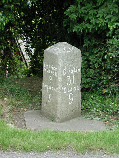 milestone/milepostmilestone/milepost · 181 yd
 MoatCastle, motte · 397 yd
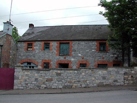 outbuildingoutbuilding · 476 yd
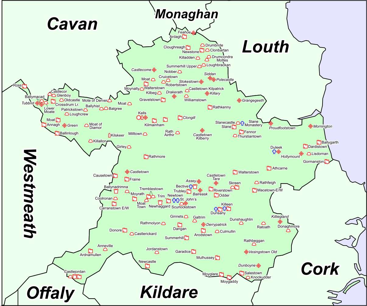 Font in DrumcondraFont · 481 yd
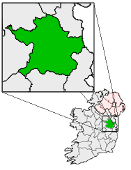 Font (present location) in RathtrasnaFont (present location) · 853 yd
 Drumran HillMountain / peak · 1687 yd
 Loughbrackan FortCastle, motte and bailey · 1.2 mi
 Yellow HillMountain / peak · 1.5 mi
 Valley WoodWood · 4.1 mi
 Nobber GreenwayMemorial · 4.3 mi
 European White ElmEuropean White Elm · 4.4 mi
 Sir Frederick Foster MemorialMemorial · 4.7 mi