What is recorded here
Situated on high ground in an upland area with extensive views; standing stone (TN020-058002) 8m to the E. A circular flat-topped mound (H 0.5m; diam. 10m) enclosed by a fosse (Wth 2m; ext. D 0.3-0.9m) and external bank (Wth 2m; ext. H 0.2-0.8m) best preserved at NW. Two large boulders protrude from the surface of the mound one in the S sector and the other in the SE.
The above description is derived from 'The Archaeological Inventory of County Tipperary. Vol. 1 - North Tipperary' compiled by Jean Farrelly and Caimin O'Brien (Dublin: Stationery Office, 2002). In certain instances the entries have been revised and updated in the light of recent research.
Date of upload/revision: 22 September 2008
Bronze Age ring-barrow; a funerary monument with a surrounding ditch and external bank. Its location on high ground suggests ritual or strategic significance.
The monument record does not grant public access. Check the route and ask the landowner before entering private land.
- What survives
- Recorded monument
Places near here
 Carrigeen Stone RowArchaeological place · 549 yd
 Enclosure in MountsackEnclosure · 791 yd
 Coum HillMountain / peak · 1.4 mi
 Church (in ruins)Church · 1.7 mi
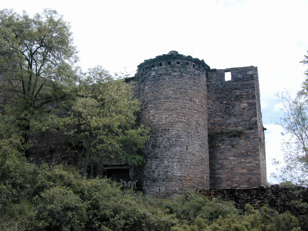 (Site of) Pallas CastleCastle, Anglo-Norman masonry castle · 1.7 mi
 Giant's GraveArchaeological place · 1.7 mi
 CastleCastle, motte · 1.7 mi
 Corbally HillMountain / peak · 1.7 mi
 Old Br.Bridge · 1.8 mi
 Saint Patrick's RockNamed rock · 3.3 mi
 Millenium CrossHeritage attraction · 3.5 mi
 Blessed WellNature reserve · 3.7 mi