
What is recorded here
On top of high ground in upland area with two tumuli (OF043-040001/002-) nearby to the NNW and NW respectively. Low circular area (diam. 9.5m) enclosed by a shallow inner fosse (Wth 3m) with slight evidence of a much degraded external bank which is destroyed by a field boundary which intersects the site at S. The ring-barrow is poorly preserved and only visible under suitable conditions. One of a group of three burial sites.
The above description is derived from the published 'Archaeological Inventory of County Offaly' (Dublin: Stationery Office, 1997). In certain instances the entries have been revised and updated in the light of recent research.
Date of upload: 23 May 2011
A ring-barrow, likely dating to the Early Bronze Age, associated with funerary practices of the period; its location on high ground and proximity to other tumuli suggest a ritual or burial landscape of regional significance.
The monument record does not grant public access. Check the route and ask the landowner before entering private land.
- What survives
- Recorded monument
Places near here
 Burial mound in BallyphilipBurial mound · 92 yd
 BarrowBarrow, ring-barrow · 399 yd
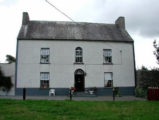 Summerhill Housefarm house · 1026 yd
 Partially hachuredQuarry · 1184 yd
 CastleCastle, ringwork · 1.3 mi
 Ballybritt CastleCastle, tower house · 1.5 mi
 Millennium GardenMemorial · 2.5 mi
 Golden Grove HillMountain / peak · 2.9 mi
 Golden Grove WoodWood · 3.0 mi
 Leap CastleCastle · 3.0 mi
 FarbreagueMountain / peak · 3.1 mi
 European ashEuropean ash · 3.2 mi
Other information
Photo: Credit not shown in the picture search · Rights wording not checked; contact us if this picture should be removed