
What is recorded here
Located on top of high ground in upland region with good extensive views in all directions. Nearby cluster of ring-barrows (OF043-040/001/002) located approximately 300m to the SW. In pasture, land appears to have been reclaimed and re-seeded with grass, encroaching coniferous plantations near site on land which has not been reclaimed. Nearby barrows to SW have been planted with coniferous trees on wet unreclaimed land.
Present remains consist of low semi-circular shaped mound (diam. 6m N-S; 11m E-W, H 0.35m) enclosed by an inner fosse (Wth 3m;ext. D 0.2m) and low outer bank(Wth 2m; H 0.1m). Site has been transected on its S side by a field boundary running E-W which gives the mound a semi-circular shape, originally the barrow consisted of a circular mound aproximately 12m N-S by 11 m E-W enclosed by a fosse and outer bank. Faint traces of central mound on S half of site but no trace of enclosing fosse or bank on this side. Monument is best preserved on its N half from W through N to E as depicted on current edition of the OS 6-inch map.
Compiled by: Caimin O'Brien
Date of upload: 09 August 2012
A Neolithic ring-barrow, likely dating to the Early to Middle Bronze Age, part of a local burial tradition in upland landscapes. Its location on high ground and association with a cluster of similar monuments suggest a significant ceremonial or funerary landscape.
The monument record does not grant public access. Check the route and ask the landowner before entering private land.
- What survives
- Recorded monument
Places near here
 Enclosure in Gorraun (ballybrit By.)Enclosure · 281 yd
 Burial mound in BallyphilipBurial mound · 322 yd
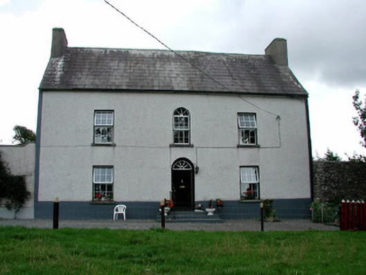 Summerhill Housefarm house · 1335 yd
 IndicatedKiln, lime · 1523 yd
 CastleCastle, ringwork · 1.5 mi
 Ballybritt CastleCastle, tower house · 1.5 mi
 Millennium GardenMemorial · 2.7 mi
 FarbreagueMountain / peak · 2.8 mi
 Leap CastleCastle · 3.1 mi
 Golden Grove HillMountain / peak · 3.2 mi
 Golden Grove WoodWood · 3.2 mi
 European ashEuropean ash · 3.4 mi
Other information
Photo: Credit not shown in the picture search · Rights wording not checked; contact us if this picture should be removed