What is recorded here
In marshy pasture, on a N-facing slope. Circular mound (diam. 5.1m) enclosed by a shallow fosse (Wth 2.8m) with an external earthen bank (Wth 4.4m). During ploughing in the early 1960s the top of the mound, which is very uneven, was removed and subsequentially reconstituted.
Compiled by: Matt Kelleher
Date of upload: 29 January 2013
A ring-barrow, likely dating to the Early Bronze Age (c. 2000–1500 BCE), representing a type of burial monument common in Ireland during the Bronze Age. Its construction with a central mound, surrounding fosse, and external bank reflects ritual landscape practices and social organisation of the period.
The monument record does not grant public access. Check the route and ask the landowner before entering private land.
- What survives
- Recorded monument
Places near here
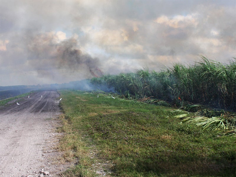 Burnt spread in CarhoonoeBurnt spread · 676 yd
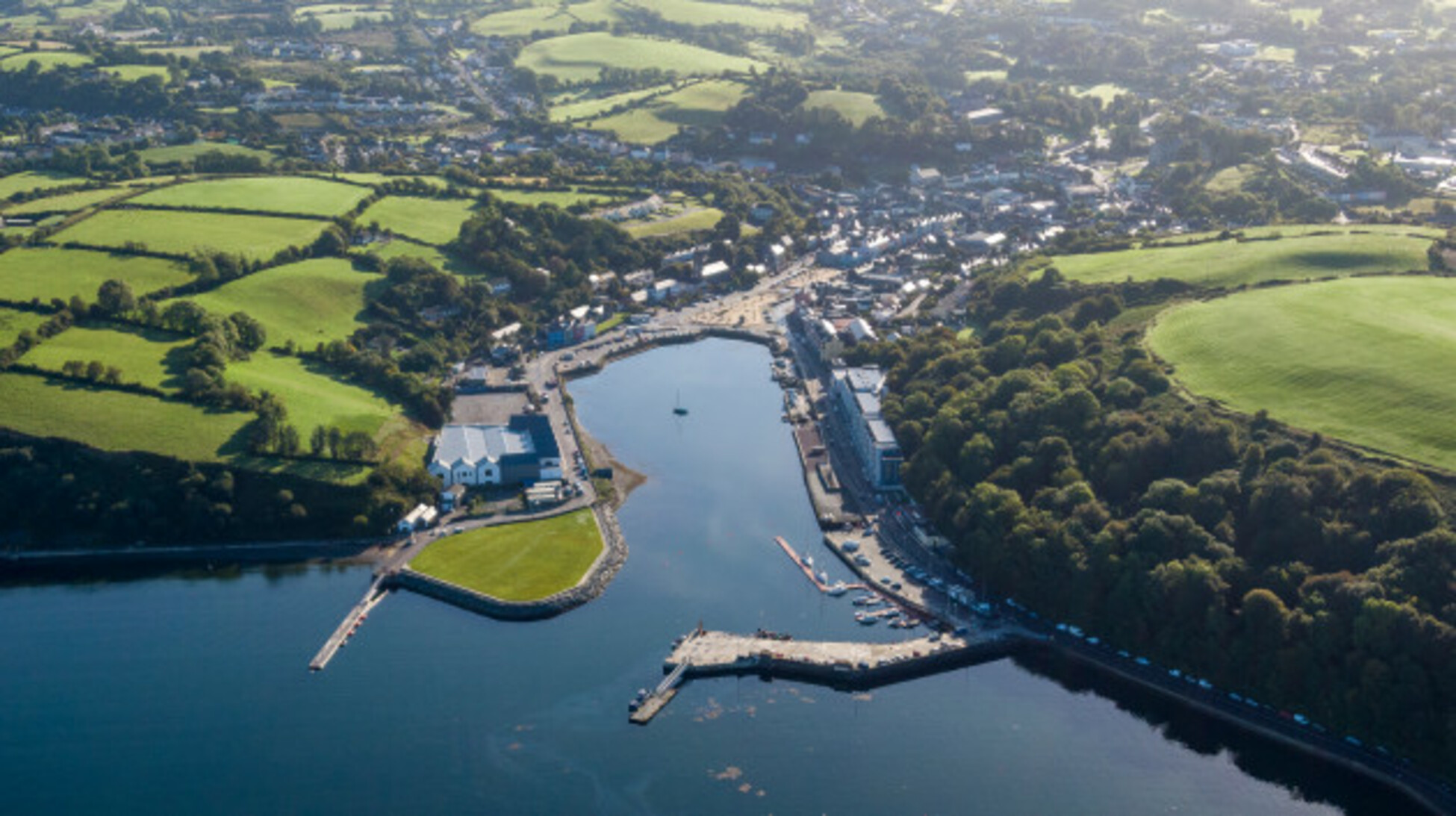 Quarry in Glencollins LowerQuarry · 1059 yd
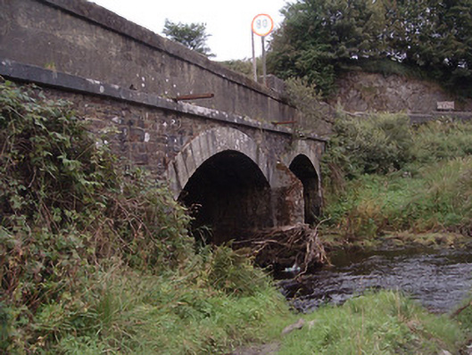 Kingwilliamstown Bridgebridge · 1.1 mi
 IndicatedEnclosure · 1.2 mi
 Doctor's HillMountain / peak · 3.3 mi
 Barna BogForest · 3.4 mi
 Nohaval WoodWood · 4.8 mi
 Mount EagleMountain / peak · 6.3 mi
 Site of Ardnagragh CastleCastle, unclassified · 6.6 mi
 Ardnacreach CastleCastle · 6.6 mi
 BarraduffMemorial · 8.2 mi
 Three CountiesPicnic place · 9.3 mi