
What is recorded here
In reclaimed wet pasture, with a spring well 20m to SSE and a stream 100m to SE marking townland boundary with Coologe. On the 1840 ed. OS 6-inch map the townland boundary with Ballynagally is depicted standing immediately E of the monument. Surveyed by the ASI in 2008 and described as the remains of a circular-shaped area (26m ENE-WSW; 24m NNW-SSE) the S half of which has been levelled. The N half of the monument survives as a semi-circular-shaped area (26m ENE-WSW; 10m NNW-SSE) defined by a scarp (Wth 1.2m; H 0.5m) with fosse (Wth 7.2m; D 0.45m) visible from NNW-N-ENE, with possible traces of an outer bank (Wth 8.7m; int. H 0.45m; ext. H 0.3m) from N-NNE-ENE. The S half of the monument is defined by the remains of a much degraded bank (Wth 5.5m; int. H 0.15m; ext. H 0.6m) visible from ENE-E-S-WSW. Monument is visible as a circular-shaped earthwork on ASI aerial photographs (ASIAP 353, 23) taken 05/01/2003. Monument is visible on Google Earth orthoimages taken 18/11/2018.
See attached sketch plan and cross-sections surveyed and drawn by the ASI.
See attached Google Earth orthoimages and ASIAP images taken 2003
Compiled by: Alison McQueen and Vera Rahilly
Date of upload: 18 July 2020
A ring-barrow, likely dating to the Early Bronze Age, associated with a spring well and stream in a boundary landscape. Its location suggests ritual or territorial significance in a prehistoric settlement context.
The monument record does not grant public access. Check the route and ask the landowner before entering private land.
- What survives
- Recorded monument
Places near here
 Clashatloe, OutlinedEnclosure · 825 yd
 Aglishcormick Grave YardChurch · 1378 yd
 Burial mound in KnockgreanBurial mound · 1757 yd
 Pallas MoatCastle, motte · 1.3 mi
 (Site of) CastleCastle, unclassified · 1.3 mi
 St. Patrick's WellSpring · 1.3 mi
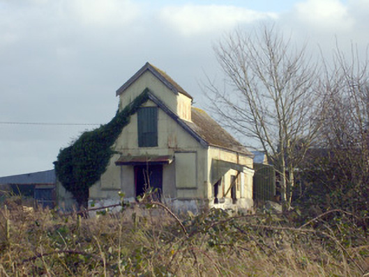 Race Creamerycreamery · 1.4 mi
 KnockseefinMountain / peak · 1.5 mi
 Kilteely HillMountain / peak · 1.8 mi
 Flat cemetery in Knockainy WestFlat cemetery · 5.7 mi
 St Patrick's WellSpring · 7.8 mi
 Ballinvreena LoopVisitor information · 11 mi
Other information
Photo: Credit not shown in the picture search · Rights wording not checked; contact us if this picture should be removed