What is recorded here
On a W-facing slope. Circular grass-covered platform (diam. 30m E-W; 29m N-S; H 0.7-0.95m) separated by a fosse (Wth of top 8-9m; Wth of base 5-5.5m; D 0.4-0.7m) from an outer bank (Wth 2.4m at SE to 6.2m at S; ext. H 0.2-0.5m) which only survives NE-E and SE-SW (ext. diam. c. 40m). A N-S field bank overlies the fosse at E.
Compiled by: Michael Moore
Date of upload: 24 August 2010
A ring-barrow, likely dating to the Early Bronze Age. It represents a type of burial monument associated with the construction of earthwork enclosures and barrows across Neolithic and Bronze Age Ireland.
The monument record does not grant public access. Check the route and ask the landowner before entering private land.
- What survives
- Recorded monument
Places near here
 Religious houseReligious house, unclassified · 1188 yd
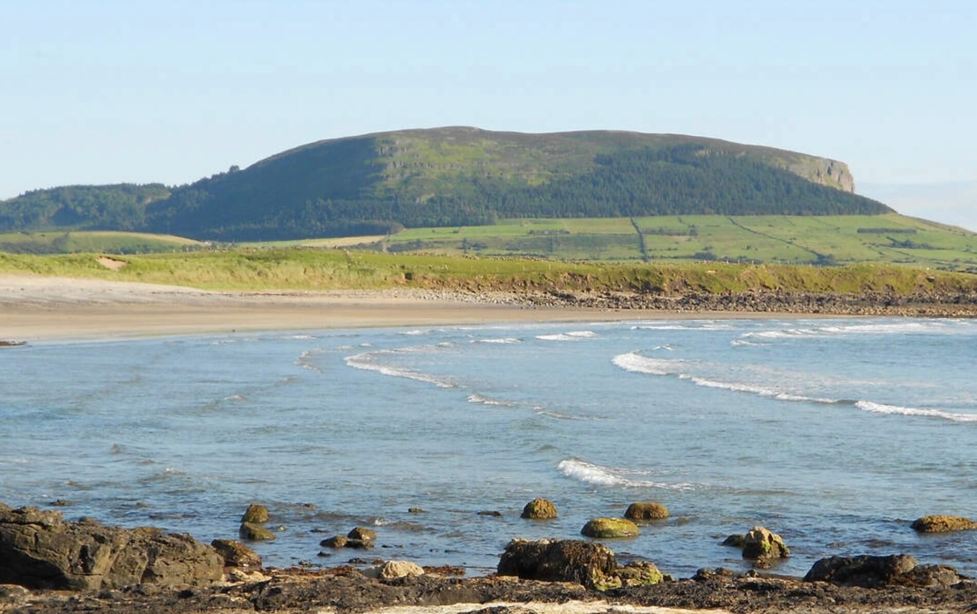 ToberaraghtHoly well · 1586 yd
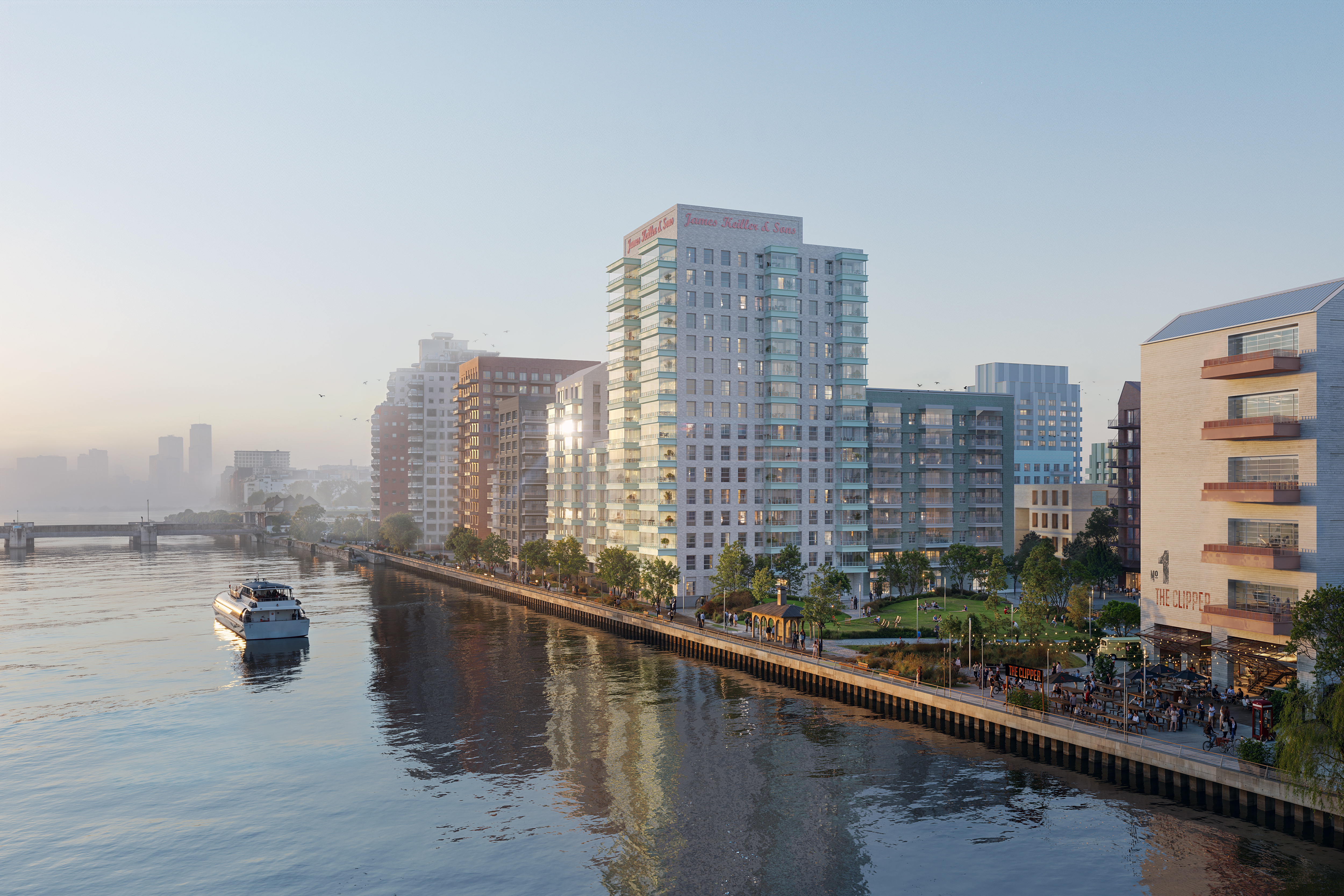 IndicatedFairy fort / earthen ringfort · 1610 yd
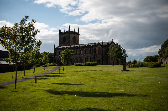 Assylin ChurchChurch · 2.4 mi
 King William MemorialMonument · 3.0 mi
 Boyle AbbeyHeritage attraction · 3.1 mi
 Moylung Castle (in ruins)Castle, unclassified · 4.0 mi
 Rose PointHeadland · 4.0 mi
 Inch IslandIslet · 4.1 mi
 Castle (in Ruins)Castle, unclassified · 4.1 mi
 Castle PointHeadland · 4.2 mi
 Gray's WoodForest · 4.3 mi