What is recorded here
On a slight W-facing slope on a small NE-SW ridge in pasture with good views in all directions. A slightly dished subcircular area (12.35m N-S; 13.4m E-W) defined by a scarp (Wth 1.45-2.8m; H 0.2-0.4m) and a shallow fosse (Wth 1.75-2.8m; D 0.1m ) (max. dims. N-S 22m; E-W 20.85m). No evident entrance. Identified by Emmet Byrnes, Forest Service. Another barrow (CL008-118----) and a mound (CL008-117----) are visible on another ridge c. 300m to the NW.
The following images have been uploaded:
CL008-137----_01.jpg View of barrow from N.
CL008-137----_02.jpg View upslope from W.
Compiled by: Mary Tunney
Date of upload: 19 August 2019
A Neolithic ring-barrow; significant as a rare and well-preserved burial monument of the early to middle Neolithic period.
The monument record does not grant public access. Check the route and ask the landowner before entering private land.
- What survives
- Recorded monument
Places near here
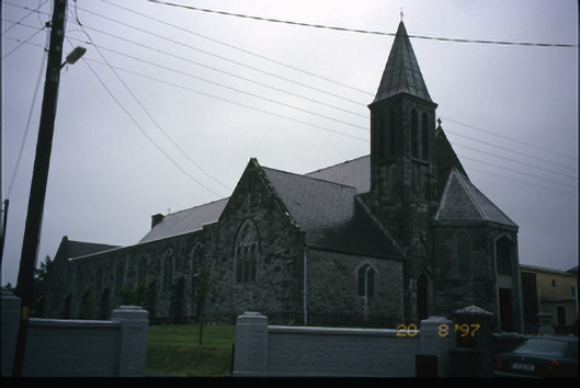 Corpus Christi Catholic Churchchurch/chapel · 603 yd
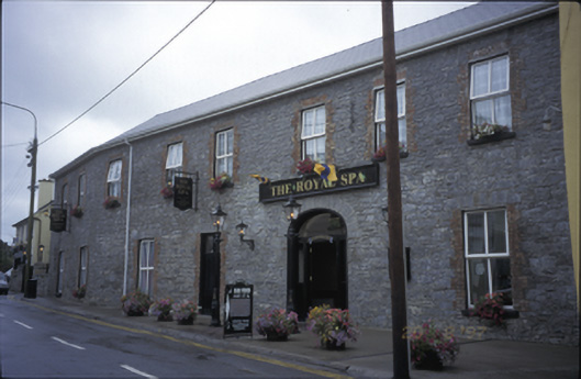 Royal Spa Hotelhotel · 687 yd
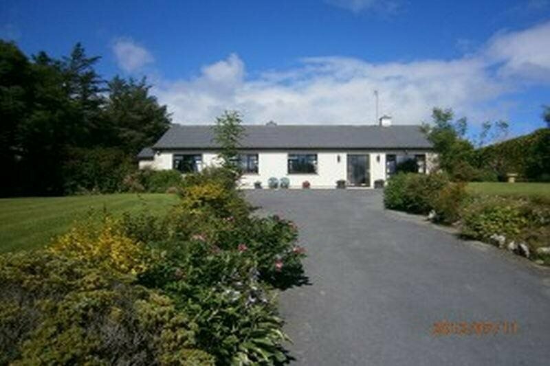 Enclosure in GowlaunEnclosure · 711 yd
 LissateeaunFairy fort / earthen ringfort · 940 yd
 Site of Lisdoonvarna CastleCastle, tower house · 1280 yd
 Ballyteigue Nature ReserveNature reserve · 1461 yd
 CastleCastle, tower house · 1.8 mi
 ( Polldonough ?)Cave · 1.9 mi
 Poll CragreaghCave · 2.1 mi
 Doolin Cave Visitor CentreHeritage attraction · 2.7 mi
 Slieve ElvaMountain / peak · 3.6 mi
 OughtdarraCliff · 3.6 mi