What is recorded here
At the E end of an E-W running ridge in boggy rough pasture, with wide views except to WNW. A small, subcircular area (12m E-W; 11m N-S) is defined by a broad, low earthen bank (Wth 3m; H 0.25-0.4m). There are slight undulations near the N edge of the rush-covered interior, which is otherwise featureless apart from several loose-lying stones. Two barrows are visible nearby; CL008-116---- c. 160m to the NW and CL008-117---- c. 135m to the WSW.
See attached image: CL008-118----_01.jpg Aerial view from S (Markus Casey, 1998).
Summary by: Gearóid Conroy and Conn Herriott
Date of upload 6 December 2022
A ring-barrow, likely dating to the Early Bronze Age, associated with funerary practices of the period. Its location on a prominent ridge suggests ritual or ceremonial significance.
The monument record does not grant public access. Check the route and ask the landowner before entering private land.
- What survives
- Recorded monument
Places near here
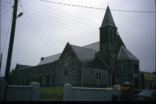 Corpus Christi Catholic Churchchurch/chapel · 674 yd
 Enclosure in Ballydonohoe (burren By.)Enclosure · 774 yd
 Enclosure in GowlaunEnclosure · 774 yd
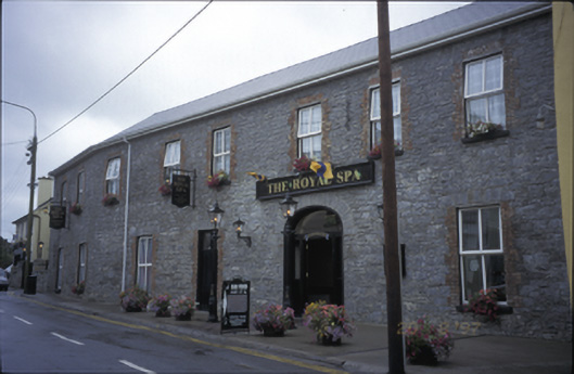 Royal Spa Hotelhotel · 819 yd
 Site of Lisdoonvarna CastleCastle, tower house · 1336 yd
 IndicatedBawn · 1427 yd
 Ballyteigue Nature ReserveNature reserve · 1730 yd
 ( Polldonough ?)Cave · 1.8 mi
 Poll CragreaghCave · 2.1 mi
 Doolin Cave Visitor CentreHeritage attraction · 2.6 mi
 Slieve ElvaMountain / peak · 3.5 mi
 OughtdarraCliff · 3.5 mi