
What is recorded here
On a hilltop in reclaimed pastureland with wide views in all directions. Hachured on the 1842 and 1920 eds. of the OS 6-inch map. A flat level grassy platform (27.2m E-W; 23.2m N-S) is defined by a scarp (H 0.25-0.45m). From E-SE a vague earthen mound (Wth 2m; H 0.1m) suggests the former presence of an enclosing bank. At NW a few limestone uprights (L 4.2m) along the edge of the scarp, may be either the remains of a stone-lined bank or some field-clearance rubble. At S, a D-shaped platform (10m E-W; 9m N-S) extends off the enclosure. It may be an associated or natural feature, or the result of recent field clearance.
Compiled by: Olive Alcock and Conn Herriott
Date of upload: 27 September 2022
A local fairy fort (ringfort/rath); wider significance not recorded.
The monument record does not grant public access. Check the route and ask the landowner before entering private land.
- What survives
- Recorded monument
Places near here
 CaherbarnaghFairy fort / stone ringfort · 770 yd
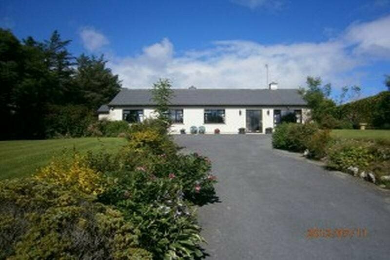 Enclosure in GowlaunEnclosure · 1062 yd
 Kilmoon Church (in ruins)Church · 1275 yd
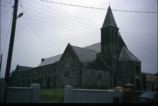 Corpus Christi Catholic Churchchurch/chapel · 1375 yd
 Site of Lisdoonvarna CastleCastle, tower house · 1426 yd
 IndicatedBawn · 1542 yd
 Ballyteigue Nature ReserveNature reserve · 1.3 mi
 ( Polldonough ?)Cave · 1.4 mi
 Poll CragreaghCave · 1.7 mi
 Doolin Cave Visitor CentreHeritage attraction · 2.5 mi
 Slieve ElvaMountain / peak · 3.0 mi
 OughtdarraCliff · 3.2 mi
Other information
Photo: Credit not shown in the picture search · Rights wording not checked; contact us if this picture should be removed