What is recorded here
In gently undulating low-lying wet pasture with a ring-barrow (TS065-024005-) abutting the edge of the barrow at NE with others nearby. Identified on aerial photograph (Ordnance Survey 2430/29). Circular area (diam. 4m) enclosed by a scarped edge (Wth 0.8m; H 0.1m) with a shallow fosse (Wth at base 0.4m) and a barely visible external earthen bank (overall Wth 2.4m; int. H 0.1m). The external bank is incorporated into the external bank of an almost identical ring-barrow (TS065-024005-) NW-NE. The interior is level and clear of overgrowth.
Compiled by: Jean Farrelly
Date of upload: 14 May 2014
A Bronze Age ring-barrow; a type of circular earthen burial mound. Its presence indicates prehistoric funerary activity in the area.
The monument record does not grant public access. Check the route and ask the landowner before entering private land.
- What survives
- Recorded monument
Places near here
 Enclosure in Ballyholahan EastEnclosure · 763 yd
 Enclosure in Grange (coshlea By.)Enclosure · 1398 yd
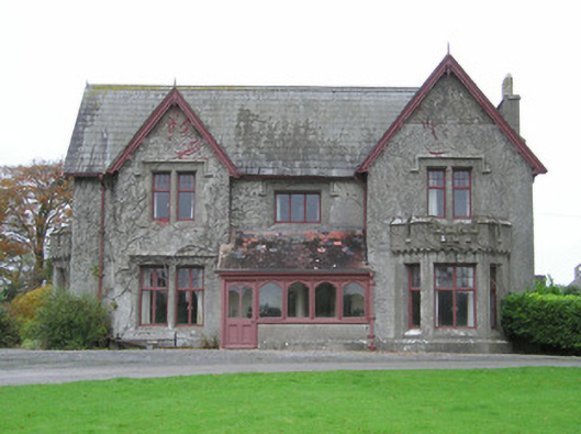 Scarteen Housecountry house · 1.1 mi
 Church in Lackelly WestChurch · 1.1 mi
 St Patrick's WellSpring · 1.4 mi
 Castle (in ruins)Castle, tower house · 1.4 mi
 Glebe Ho.Castle, unclassified · 1.5 mi
 Carn (site of)Cairn, burial cairn · 1.9 mi
 Saint Patrick's WellSpring · 2.3 mi
 Flat cemetery in Knockainy WestFlat cemetery · 3.5 mi
 Ballinvreena LoopVisitor information · 4.4 mi
 SlievereaghMountain / peak · 4.7 mi