
What is recorded here
Described by Doody (2008, 138) as a subrectangular ditched enclosure, c. 35m x 35m, possibly platformed'; the morphology of this enclosure indicates that it may be Bronze Age in date (ibid.).
Compiled by: Denis Power
Date of upload: 11 November 2013
See attached ASI aerial photographs ASIAP – 368/1 and 2 on 10/05/2003.
The monument record does not grant public access. Check the route and ask the landowner before entering private land.
- What survives
- Recorded monument
Places near here
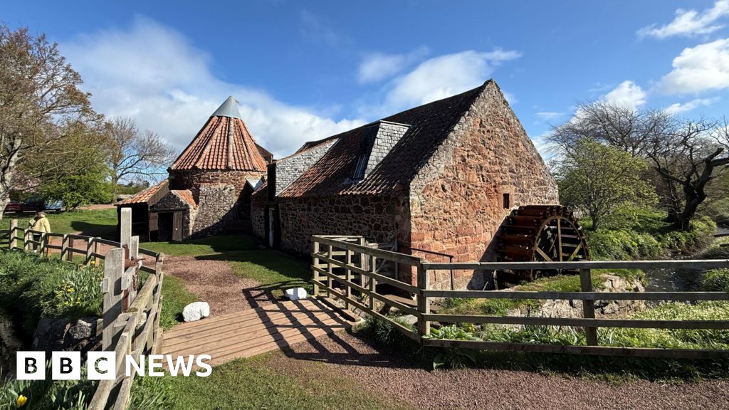 MillMill, unclassified · 1043 yd
 St Patrick's WellSpring · 1111 yd
 St. Patricks and St Pauls WellsHoly well · 1117 yd
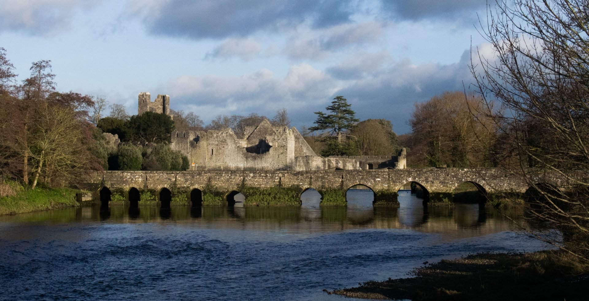 RaheenamadraArchaeological place · 1139 yd
 RoadRoad, road/trackway · 1169 yd
 Castle (in ruins)Castle, tower house · 1206 yd
 Ryves CastleCastle, unclassified · 1.3 mi
 Saint Patrick's WellSpring · 1.6 mi
 Ballinvreena LoopVisitor information · 3.6 mi
 Flat cemetery in Knockainy WestFlat cemetery · 3.7 mi
 SlievereaghMountain / peak · 3.9 mi
 Palatine's RockNamed rock · 5.7 mi
Other information
Photo: Credit not shown in the picture search · Rights wording not checked; contact us if this picture should be removed