What is recorded here
In level pasture with yellow ragweed. Circular area (diam. c. 18m) defined by an internal fosse (Wth 3m; Dth 0.05), a wide low outer bank (Wth 5.2m; int. H 0.05m; ext. H 0.05m), traces of an external fosse (Wth 1.7m; D 0.2-0.4m) are also visible. A second low profile bank (Wth 5m; H 0.2-0.4m) evident and second external fosse (Wth 1.5m; D 0.15m) is outside latter. Third external bank (Wth 3m; H 0.15m) and a third external fosse (Wth 2m; D 0.05m) define outer edges of monument respectively. Curvilinear feature extending around monument NW-N-E-SSE as shown on aerial photo (Air Corps V. 311/2946-7; R505/6) may be a land drain or levelled field boundary. Stream defines S side of monument. Earthworks possible (TS067-052002-) enclose monument to N and E.
Compiled by: Jean Farrelly
Date of upload: 26 August 2011
A ring-barrow, likely dating to the Early Bronze Age, characterized by its circular fosse and low outer bank. Such monuments are commonly associated with single inhumation burials and represent significant funerary practices of the period.
The monument record does not grant public access. Check the route and ask the landowner before entering private land.
- What survives
- Recorded monument
Places near here
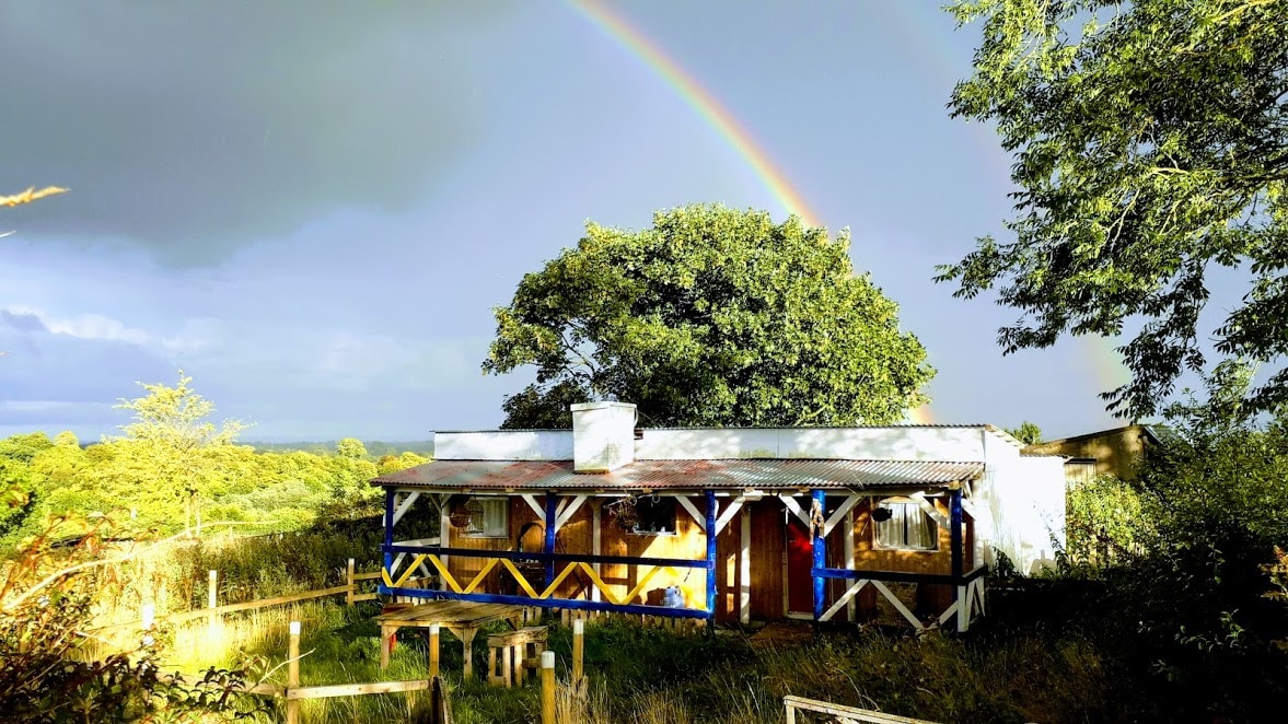 Enclosure in Ballyglass Lower (clonpet Par.),ballyglass Lower (cordangan Par.)Enclosure · 380 yd
 Enclosure in Ballyglass Upper (clonpet Par.)Enclosure · 447 yd
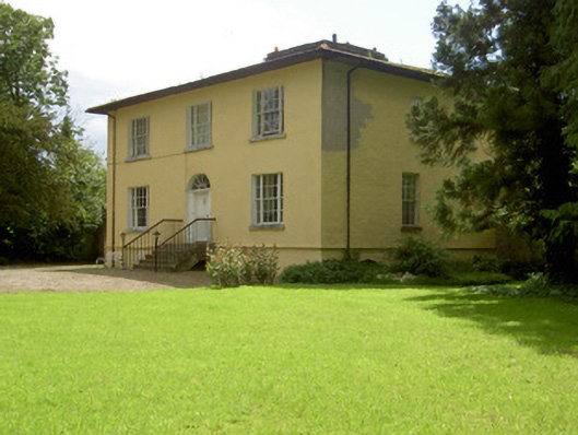 Brookville Househouse · 580 yd
 Breansha Castle ruinsCastle · 866 yd
 Bawn in Breansha MoreBawn · 875 yd
 The RockViewpoint · 1122 yd
 Christ the KingViewpoint · 1.1 mi
 Glen of AherlowViewpoint · 1.1 mi
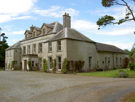 Cordangan Manorcountry house · 1.3 mi
 Bansha ForestForest · 1.9 mi
 The Maid of ErinMemorial · 1.9 mi
 SlievenamuckMountain / peak · 3.1 mi