What is recorded here
Dan Gearon's land once held three circles, but ploughs and ambition erased two. The smallest vanished entirely during reclamation, leaving no trace except memory and a deleted line in a ledger. What remains is absence made visible: a field that forgot its own shape.
In level pasture, c. 70m to S of ringfort (8016). According to land owner, small enclosure c. 20ft in diameter levelled during land reclamation. No visible surface trace. Broker (1937, 55) recorded on Dan Gearon's land, besides his large fort (8016), two other nearly levelled enclosures '30 and 10 yards in diameter', one of which 'is alleged to have the fosse inside the rampart'. Second possible ring-barrow (7885) c. 150m to SE.
The above description is derived from the published 'Archaeological Inventory of County Cork. Volume 3: Mid Cork' (Dublin: Stationery Office, 1997). In certain instances the entries have been revised and updated in the light of recent research.
Date of upload/revision: 14 January 2009
A ring-barrow, likely dating to the Early Bronze Age, associated with a small enclosure; its significance lies in its possible funerary function and contextual relationship with a nearby ringfort.
The monument record does not grant public access. Check the route and ask the landowner before entering private land.
- What survives
- Recorded monument
Places near here
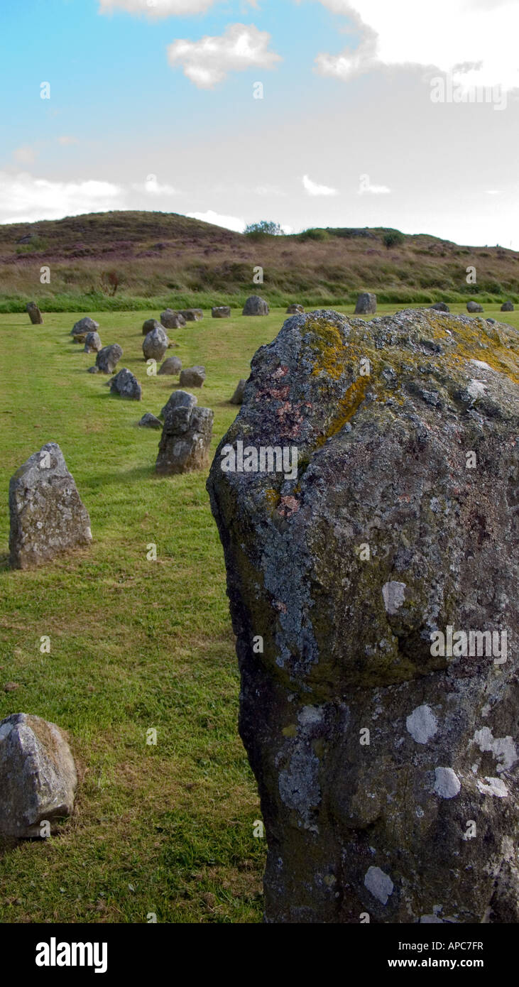 BarrowBarrow, ring-barrow · 141 yd
 Church of Our Lady of Lourdeschurch/chapel · 442 yd
 Man-made underground passage (Site of)Man-made underground passage · 681 yd
 Ballydaly Church (in Ruins)Church · 1.1 mi
 Claragh MountainMountain / peak · 2.0 mi
 Caherbarnagh East TopMountain / peak · 2.1 mi
 Wildlife of the UplandsVisitor information · 2.6 mi
 Birds of DuhallowVisitor information · 2.7 mi
 Millstreet Museum & Tourist Information CentreMuseum · 2.9 mi
 RowanRowan · 3.1 mi
 Kilmeedy CastleCastle, tower house · 3.2 mi
 Dromsicane Castle (in Ruins)Bawn · 3.3 mi