What is recorded here
In gently undulating wet pasture 8m to S of an E-W flowing stream. Mound barrow almost completely levelled and now consists of a circular area (diam. 16m) enclosed by an external earthen bank (int. H 0.2m; ext. H 0.2m; Wth at top 1m; overall Wth 3.1m) NW-NNE and the trace remains (av. Wth 3.4m) of the levelled external bank NNE-NW. An internal fosse (Wth at base 0.8m) survives immediately within the extant portion of the external bank and is absent elsewhere. The interior has been almost entirely levelled except for a roughly triangular portion (dims. 4m N-S; 5m E-W; H 0.3m) of the edge of the NNW quadrant immediately within the surviving portion of the fosse and external bank. The interior is dry and clear of overgrowth.
Compiled by: Jean Farrelly
Date of upload: 26 August 2011
Ring-barrow, likely dating to the Early Bronze Age. Its circular enclosure and earthen bank are characteristic of funerary monuments from this period, reflecting early burial practices in the region.
The monument record does not grant public access. Check the route and ask the landowner before entering private land.
- What survives
- Recorded monument
Places near here
 BarrowBarrow, ditch barrow · 480 yd
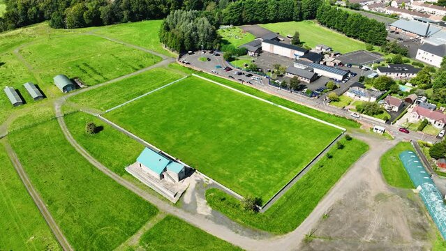 Field system in BallyhoneField system · 578 yd
 CastleCastle, motte · 1259 yd
 Glebe Ho.Castle, unclassified · 1.5 mi
 Ahnageeragh Bridgebridge · 1.5 mi
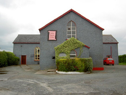 Halla Naomh Ailbhechurch/chapel · 1.6 mi
 Flat cemetery in Knockainy WestFlat cemetery · 2.9 mi
 Kilteely HillMountain / peak · 3.1 mi
 St Patrick's WellSpring · 3.3 mi
 St. Patrick's WellSpring · 3.5 mi
 Ballinvreena LoopVisitor information · 6.3 mi
 SlievereaghMountain / peak · 6.8 mi