
What is recorded here
From the National Monuments Service (Archaeological Survey of Ireland) record CL042-203
Places near here
Photo credits
- Suzanne Mischyshyn, Geograph · CC BY-SA 2.0
- Maker not stated on source page, www.alamy.com
- Maker not stated on source page, www.dreamstime.com
- Golfing in Ireland; photographer not stated, Source publisher
- Suzanne Mischyshyn, Wikimedia Commons · CC BY-SA 2.0
- Didier Descouens, Wikimedia Commons · CC BY-SA 4.0
- Maker not stated on source page, en.wikipedia.org
- Maker not stated on source page, commons.wikimedia.org
- Maker not stated on source page, www.tripadvisor.in
- Roger Diel, Geograph · CC BY-SA 2.0
- Maker not stated on source page, ca.pinterest.com
- Kmcnamee, Wikimedia Commons · CC BY-SA 4.0
 belvedere120 yd
Explorer Tom Belvedere in Ballyconneely was built in 1741 for a guy who just wanted to watch his neighbours argue. The gazebo plan…
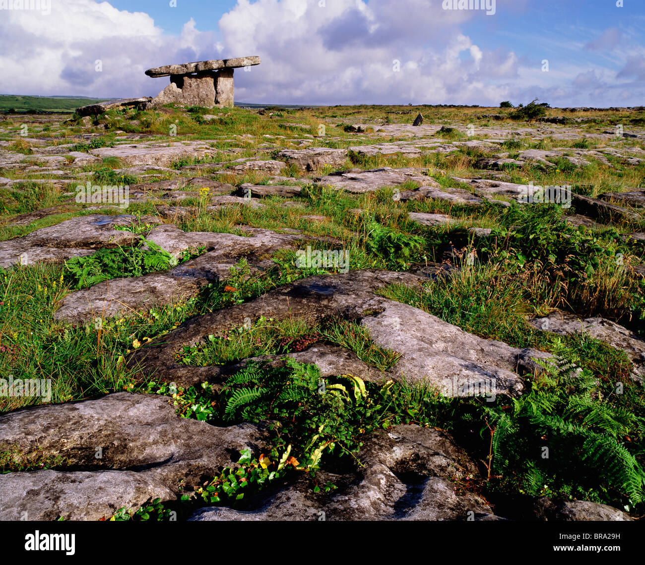 Standing stone in Latoon SouthStanding stone · 547 yd
Explorer Tom Standing stone in Latoon South is playing hard to get. A local claims he invented it last Tuesday, but I'm pretty sure…
 Flat cemetery in BallyconneelyFlat cemetery · 709 yd
Explorer Tom Flat cemetery in Ballyconneely is so flat it could double as a ping-pong table. What would it bring to a party?…
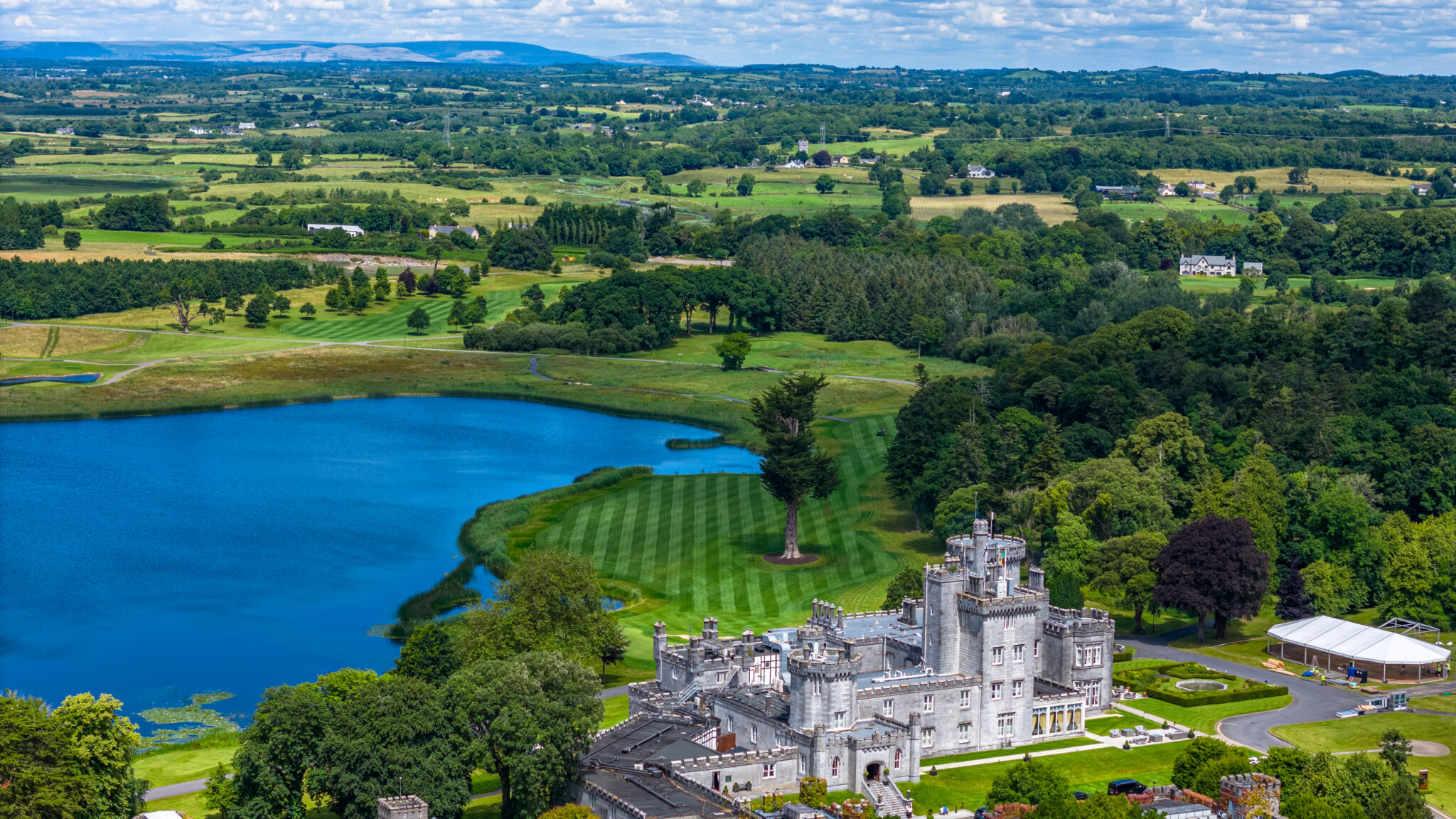 Dromoland Castle Golf & Country ClubGolf course · 833 yd
 Dromoland CastleCastle, unclassified · 906 yd
Explorer Tom Dromoland Castle has a base that looks like it was chewed by a giant. The new wing from 1835 is definitely trying to…
 Hawthorn1210 yd
Explorer Tom Hawthorn in County Clare caused such a huge argument in the parish that two families stopped speaking for fifty years…
 Enclosure in RathfolanEnclosure · 1.1 mi
Explorer Tom This enclosure would describe the 1800s to a teenager as 'before everyone had phones and we were all miserable about…
 Fairy fort / stone ringfort in Ballynacragga (bunratty Lower By.)Fairy fort / stone ringfort · 1.1 mi
Explorer Tom Fairy fort / stone ringfort in Ballynacragga would spill beans after three pints about who really won the war. It…
 Earthwork in Mooghaun SouthEarthwork · 1.4 mi
Explorer Tom Earthwork in Mooghaun South is just a big pile of dirt that thinks it's fancy. I bet it was built by a guy who really…
 Mooghaun Castle (in Ruins)Castle, tower house · 1.4 mi
Explorer Tom Mooghaun Castle is home to a giant legend where he actually lost his keys in the tower and has been looking for them…
 Castle (in Ruins)House, 16th/17th century · 1.7 mi
Explorer Tom Castle in Carrigoran is a house pretending to be a castle because the map makers got confused and decided to lie for…
 Newmarket on Fergus GAA pitchGAA ground · 1.8 mi
More archaeology and monuments in County Clare · All of County Clare

What do you know about this place?Tap to add a comment or ask a question