What is recorded here
Situated atop low rise of ground with good views in all directions, bullaun stone (WM036-038----) in same field c. 70m to NE. Circular-shaped sunken area (diam. 17m; D 0.4m) enclosed by a low poorly preserved earthen bank (Wth. 5m; ext. H 0.2m), no entrance feature visible. There has been some dumping of material inside the centre of the possible barrow.
See attached Bing Maps aerial photograph taken November 2011 which shows outline of possible pond barrow, taken from www.bing.com/maps/.
Compiled by: Caimin O’Brien
Date of upload: 11 August 2014
Pond barrow, likely dating to the Early Bronze Age. This type of monument is significant as an example of funerary and ritual practices associated with water in prehistoric Ireland.
The monument record does not grant public access. Check the route and ask the landowner before entering private land.
- What survives
- Recorded monument
Places near here
 IndicatedFairy fort / earthen ringfort · 270 yd
 Bladderry Bridgebridge · 309 yd
 OutlinedEnclosure · 505 yd
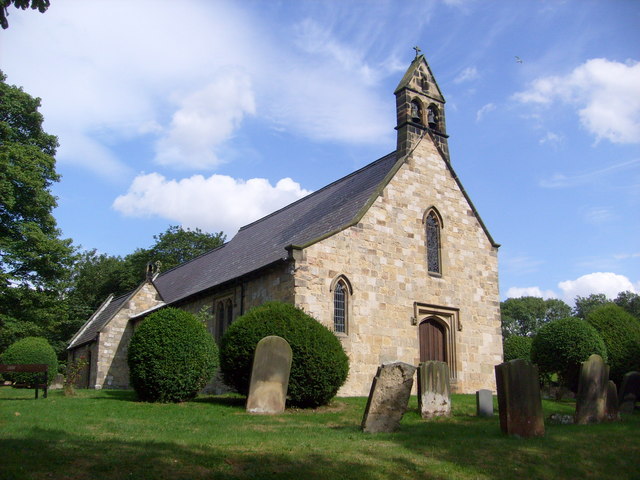 Church in Clonaltra WestChurch · 1061 yd
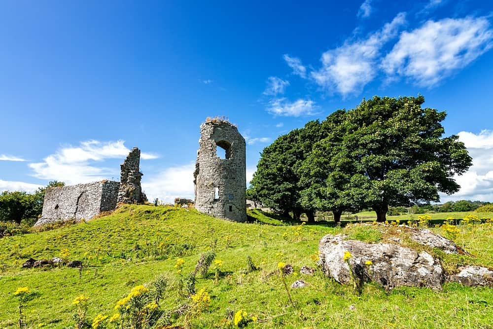 CastleCastle, unclassified · 1.1 mi
 Esker CastleCastle, tower house · 1.8 mi
 European ashEuropean ash · 2.0 mi
 Dún na SíMuseum · 4.0 mi
 Dún na Sí Heritage CentreMuseum · 4.0 mi
 Charles BianconiMemorial · 4.2 mi
 Moate HillMountain / peak · 4.2 mi
 Endrim HillMountain / peak · 4.5 mi