What is recorded here
Located in level pasture, 300m E of Bushfield House, an 18th-century country house (now in ruins).
This enclosure is not shown on any edition of the OS 6-inch maps; it is visible in current aerial imagery.
Circular sunken area (diam. 21m) defined by a low-profile earthen bank (Wth 7m; int. H 0.9m; ext. H 0.75-0.8m). The bank has broadly slumped sides. The external slope is quite well defined, but the internal slope merging seamlessly with the shallow sunken interior. The interior is damp; there was a small pool in base on the day of visit. Two hawthorn bushes grow on the bank, one at NE, the other at SE.
This is an interesting and unusual enclosure enclosure. The fact that it is not shown on the OS maps might suggest that it is relatively recent in date, however, the broad, low bank and shallow, sunken interior suggest it might be a pond barrow.
Compiled by: Jane O’Shaughnessy
Date of Upload: 11 May 2022
Pond barrow, likely dating to the Early Bronze Age. Its water-filled or waterlogged basin suggests a ritual or funerary function, typical of ceremonial sites in lowland Britain.
The monument record does not grant public access. Check the route and ask the landowner before entering private land.
- What survives
- Recorded monument
Places near here
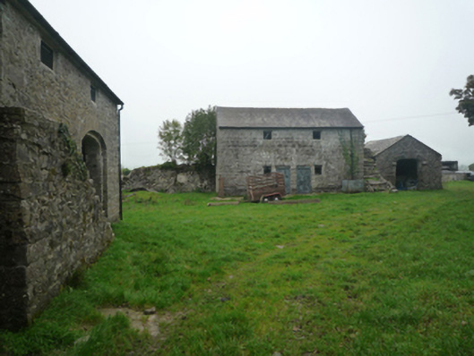 Bushfieldfarmyard complex · 391 yd
 Enclosure in BushfieldEnclosure · 539 yd
 IndicatedEnclosure · 896 yd
 Chapel (ruin)Church · 969 yd
 Castle in ruinsCastle, unclassified · 1.9 mi
 Castle (in ruins)Castle, unclassified · 2.2 mi
 SycamoreSycamore · 4.1 mi
 Geoffrey's WoodForest · 4.2 mi
 Mass RockNamed rock · 9.4 mi
 Red Island RockIslet · 12 mi
 School of FalconryHeritage attraction · 12 mi
 Oileán na nAnamIslet · 12 mi