What is recorded here
On top of an E-W ridge. Circular, round-topped and grass-covered earthen mound (diam. 5-5.5m; H 0.5-0.95m). Ring-barrow (RO006-135001-) is c. 10m to the ESE. These monuments are particularly visible on Google Earth (18/03/2015). Archaeological testing (15E0105) c. 20m to the W produced no related material (Quinn 2015).
Compiled by: Michael Moore
Date of revised upload: 2 April 2019
Amended: 5 February 2020
Round barrow, likely dating to the Early Bronze Age (c. 2000–1500 BCE). Its location on a prominent ridge suggests it may have had a ceremonial or territorial significance in the landscape.
The monument record does not grant public access. Check the route and ask the landowner before entering private land.
- What survives
- Recorded monument
Places near here
 Enclosure in Keeloges (boyle By.)Enclosure · 306 yd
 Enclosure in CarrickmoreEnclosure · 704 yd
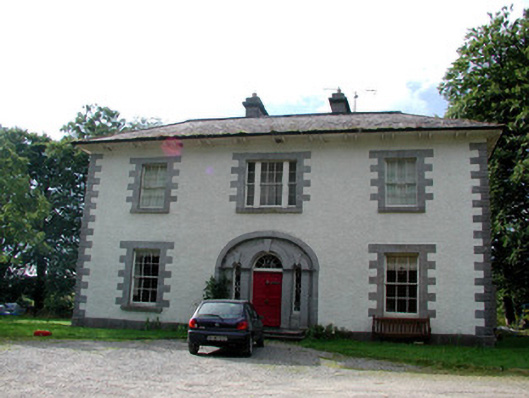 Carrigard Househouse · 1264 yd
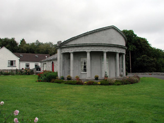 Rockingham Housegate lodge · 1557 yd
 Moylung Castle (in ruins)Castle, unclassified · 1.5 mi
 Lough Key Forest ParkWood · 1.5 mi
 Erris BayBay · 1.8 mi
 Horse-chestnutHorse-chestnut · 1.9 mi
 Western RedcedarWestern Redcedar · 1.9 mi
 Longford HillMountain / peak · 2.1 mi
 Boyle AbbeyHeritage attraction · 2.1 mi
 Trinity IslandIslet · 2.2 mi