What is recorded here
On a rise in flat marshland. Described by McCaffrey (1952, 20, 139, no. 8a) as 'the remains of a tumulus' that may have belonged to the barrow class of monuments. It comprised an almost circular mound ‘58 feet by 55 feet ... maximum height of 4 feet 6 inches [17.6m by 16.7m; H 1.4m]’ with kerb consisting of ‘a simple ring of limestone slabs placed on edge’. No visible surface trace survives.
Compiled by: Galway Archaeological Survey, UCG
Date of upload: 14 November 2019
Mound barrow, likely dating to the Early Bronze Age. Its presence indicates prehistoric funerary practices in the Oranhill area, though specific archaeological details remain limited.
The monument record does not grant public access. Check the route and ask the landowner before entering private land.
- What survives
- Recorded monument
Places near here
 Oran FortFairy fort / earthen ringfort · 499 yd
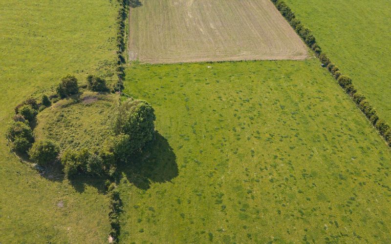 Fairy fort / stone ringfort in Rinville EastFairy fort / stone ringfort · 545 yd
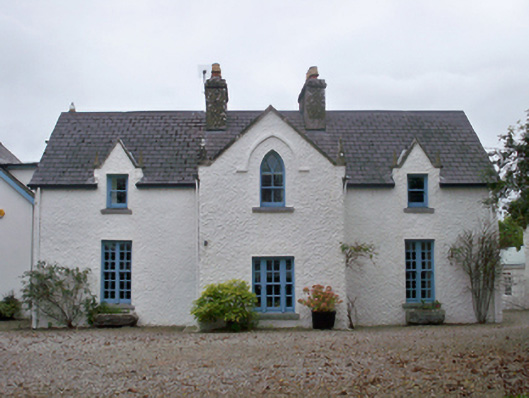 Roseville Cottagehouse · 856 yd
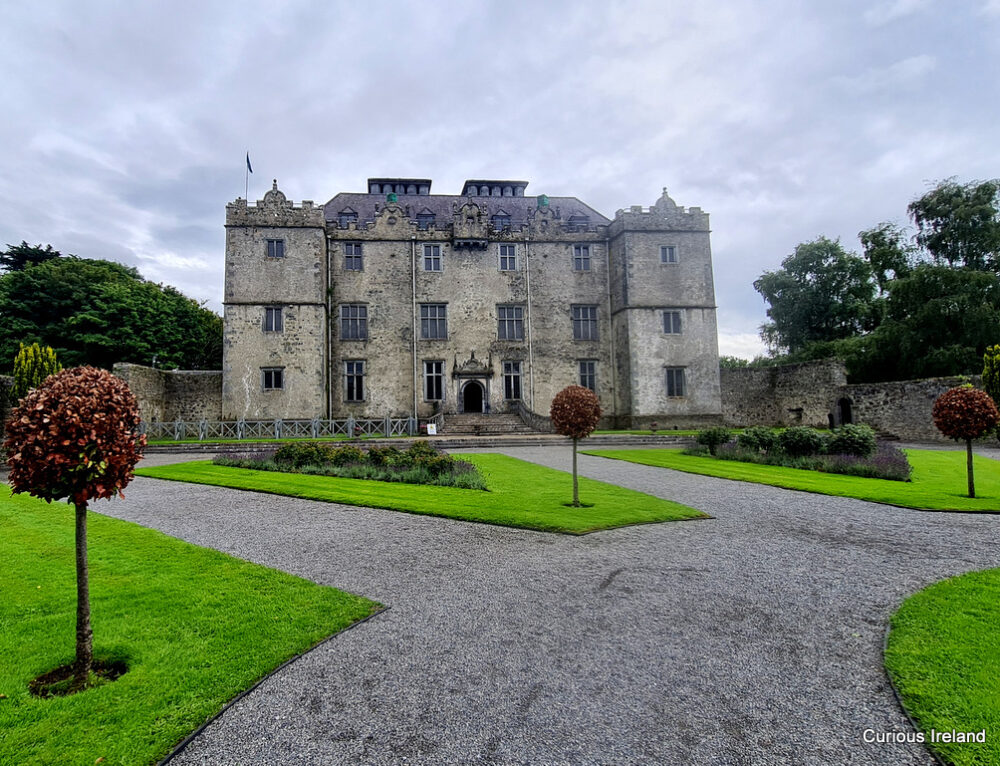 Moneyduff Castle (Site of)Castle, unclassified · 898 yd
 Rocklandshouse · 1315 yd
 CastleCastle, unclassified · 1378 yd
 North WoodWood · 1.5 mi
 South WoodWood · 1.5 mi
 Leadmine HillMountain / peak · 2.2 mi
 Rabbit IslandIslet · 3.4 mi
 Ardfry PointHeadland · 3.5 mi
 Goose IslandIslet · 3.6 mi