What is recorded here
Situated on a low hill. This is a grass-covered mound (diam. of base 15m; NW-SE; H 1.4-1.9m) with a fairly flat top (diam. 7m E-W) and a rather square base (diam. 23m NW-SE) caused by plough scarps (H 1.2-2m), which increases the apparent height (H 2.5-3m).
The above description is derived from the published 'Archaeological Inventory of County Meath' (Dublin: Stationery Office, 1987). In certain instances the entries have been revised and updated in the light of recent research.
Revised by: Michael Moore
Date of revision: 26 October 2018
Mound barrow, likely dating to the Early Bronze Age. It represents a common funerary monument type in the British Isles, used for burial and commemoration of high-status individuals.
The monument record does not grant public access. Check the route and ask the landowner before entering private land.
- What survives
- Recorded monument
Places near here
 Enclosure in BallygowanEnclosure · 715 yd
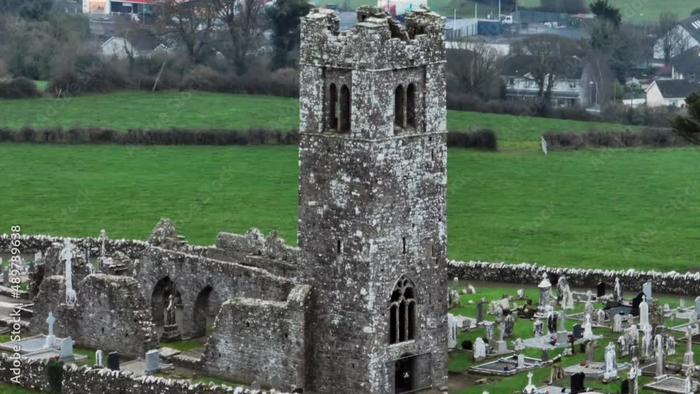 Church (in ruins)Church · 803 yd
 Enclosure in ShanlisEnclosure · 1471 yd
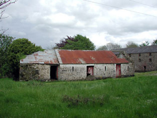 outbuildingoutbuilding · 1603 yd
 Yellow HillMountain / peak · 1.1 mi
 Screedoge HillMountain / peak · 1.2 mi
 CastleCastle, unclassified · 1.7 mi
 European White ElmEuropean White Elm · 2.2 mi
 Valley WoodWood · 2.4 mi
 Site of Mullanstown CastleCastle, unclassified · 2.5 mi
 Sir Frederick Foster MemorialMemorial · 2.5 mi
 Graveyard in StickillinGraveyard · 4.0 mi