What is recorded here
Situated in forestry plantation on Knockdrin Demesne. Monument depicted on Larkin's 1808 map of Co. Westmeath. Described in 1980 by the ASI as 'a wide low mound of earth and stones, surrounded by remains of a wide shallow fosse. The mound was approx. 2m in heights and measures approx. 18m in diam. The surface is uneven the result of fairly recent disturbance. The top is wide and flat with a slight modern depression in the centre. Sited on the summit of a hill OD 555', with wide views of the surrounding countryside' (ASI File 03/03/1980).
Surveyed in 2012 and described by McGuinness (2012, 28) as following: ‘Large circular mound (Diam. 24.5m N-S x 24.5m E-W) with low, rounded profile, capped by a trigonometrical station (168m OD), in coniferous plantation on flattish summit of prominent hill of Knockdrin. Site is well-preserved but covered with mature fir trees, several stumps of larger, much older trees, and a thick, springy layer of pine needles; a slight depression near centre of mound may indicate a collapsed chamber. Height of mound above surrounding ground ranges from 1.7m on SE side to 2m on SW side. Given its size and location, this may be a passage-tomb, although it is unclear whether it is composed primarily of earth or stone, and no kerbstones or other diagnostic features are visible. Frewin Hill (WM011-133----) would be visible across Lough Owel to W but for trees'.
Compiled by: Caimin O'Brien based on details provided by David McGuinness.
Date of upload: 23 February 2015
Mound barrow, likely dating to the Early Bronze Age. Its depiction on an 1808 map and 1980 ASI description confirm its long-standing recognition as a prehistoric burial monument.
The monument record does not grant public access. Check the route and ask the landowner before entering private land.
- What survives
- Recorded monument
Places near here
 Knockdrin Castlegate lodge · 958 yd
 OutlinedFairy fort / earthen ringfort · 1176 yd
 Crannog in Culleen BegCrannog · 1255 yd
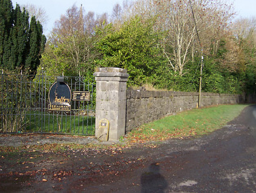 Ballynagalldemesne walls/gates/railings · 1336 yd
 Long PlantingForest · 1461 yd
 IndicatedCastle, tower house · 1.1 mi
 Site of CastleCastle, unclassified · 1.7 mi
 Saint Brigid's WellSpring · 2.1 mi
 Scragh Bog Nature ReserveNature reserve · 2.3 mi
 United Nations War MemorialMemorial · 2.5 mi
 Church IslandIsland · 2.5 mi
 The Chimera GalleryGallery · 3.1 mi