What is recorded here
Situated on a hillock (558ft/170m OD), in undulating pasture, with good views in all directions. Not depicted as an antiquity on any edition of the OS historic mapping, but is marked as an OS trig. point marking the spot height of 558 ft. OD. Monument described in 1977 as a very small, low mound (diam. 5m) of earth and stone. The sides and a portion of the top (H 1.5-1.75m) have been cut away by digging and ploughing.
Compiled by Alison McQueen, Vera Rahilly and Caimin O’Brien.
Date of upload: 27 August 2019
A Bronze Age mound barrow; likely a funerary monument dating to the first millennium BCE. Its location on a prominent hillock suggests it was deliberately sited for visibility and ceremonial significance.
The monument record does not grant public access. Check the route and ask the landowner before entering private land.
- What survives
- Recorded monument
Places near here
 OutlinedEnclosure · 433 yd
 Partially hachuredEnclosure · 463 yd
 Killeenbrack CastleCastle · 975 yd
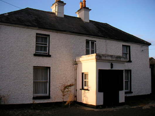 Killaroo Househouse · 1154 yd
 Stremmingstown CastleCastle · 1223 yd
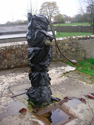 water pumpwater pump · 1337 yd
 Sam's ParkForest · 1.1 mi
 European ashEuropean ash · 1.2 mi
 Hill of UisneachMountain / peak · 1.7 mi
 KnockastiaMountain / peak · 2.9 mi
 Dún na Sí Heritage CentreMuseum · 7.9 mi
 Guest ServicesVisitor information · 8.2 mi