What is recorded here
Situated on a low rise with good views in all directions. Ringfort (WM010-006----) 130m to NW. Ringfort (WM010-007----) 330m to ESE. A flat-topped, steep sided oval-shaped mound of earth and stone (H 1.5m; base diam. 10m SSW-NNE; 13m WNW-ESE; top diam. 6m N-S; 7m E-W). A trigonometrical station marking the spot height 263 ft. is depicted here on the 1837 ed. OS 6-inch map in an area annotated as the ‘Fair Green’. Possible mound barrow.
Compiled by: Frank Coyne and Caimin O'Brien
Date of upload: 6 June 2017
Mound barrow, likely dating to the Early Bronze Age. Its location on an elevated site suggests it was used for burial and may have had ceremonial or social significance in the local landscape.
The monument record does not grant public access. Check the route and ask the landowner before entering private land.
- What survives
- Recorded monument
Places near here
 OutlinedHoly well · 804 yd
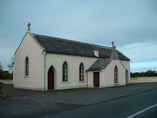 Saint Matthew's Catholic Churchchurch/chapel · 1074 yd
 Bawn in EmperBawn · 1213 yd
 Hachured, RathduffFairy fort / earthen ringfort · 1288 yd
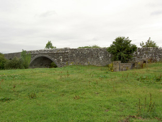 Ballynacarrow Bridgebridge · 1588 yd
 Site of CastleCastle, unclassified · 1.4 mi
 Common AlderCommon Alder · 1.9 mi
 Pedunculate OakPedunculate Oak · 2.4 mi
 Abbeyshrule AbbeyRuins · 3.1 mi
 Goldsmith Birthplace, PallasVisitor information · 5.2 mi
 Craft WorkshopHeritage attraction · 5.5 mi
 Guest ServicesVisitor information · 5.5 mi