
What is recorded here
In level pasture with restricted views. Townland boundary with Behanagh 25m to S and N bank of Behanagh River 65m to S. Remains consist of a raised circular-shaped mound (dims. 6.15m N-S x 6.1m E-W; H 1.1m) defined by a scarp with no evidence of an external fosse.
Compiled by: Caimin O'Brien
Date of upload: 26 October 2021
Mound barrow, likely dating to the Early Bronze Age. Such barrows are significant as they represent some of the earliest monumental burial traditions in the region.
The monument record does not grant public access. Check the route and ask the landowner before entering private land.
- What survives
- Recorded monument
Places near here
 IndicatedKiln, lime · 869 yd
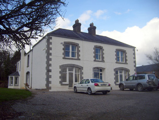 Loughananna Househouse, gate lodge · 1190 yd
 Burial GroundBurial ground · 1297 yd
 EnclosureEnclosure, large enclosure · 1361 yd
 Kilbeheny Castle (in ruins)Castle, tower house · 1.1 mi
 Coopers WoodWood · 1.9 mi
 Eagles StepCliff · 2.2 mi
 Seefin North TopMountain / peak · 2.6 mi
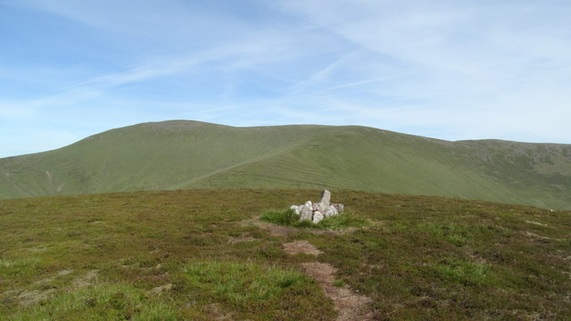 MonabrackMountain / peak · 2.9 mi
 Combaun WoodsViewpoint · 3.1 mi
 CastleCastle, ringwork · 3.4 mi
 Aircraft Memorial 1976Memorial · 3.6 mi
Other information
Photo: Credit not shown in the picture search · Rights wording not checked; contact us if this picture should be removed