
What is recorded here
Thirty-one metres of scarped earth and waterlogged ditch mark a possible ringfort in Ballintober pasture, preserving a household boundary from the fifth to twelfth centuries rather than a military fortress. Its causeway, shallow interior depressions and tree-lined outer bank suggest rooms, pits or changed farming use inside a circle that ordinary grass has almost swallowed. The nearby cropmark of a much larger levelled enclosure reminds a walker that several generations of life may have stacked themselves across the same flat field.
In level pasture with moderate views in all directions, possible ringfort (LI060-006---) immediately to S. Cropmark of large levelled enclosure (diam. c. 78m) visible on Google Earth orthoimage taken 14/09/2019.
See attached Google Earth orthoimages
Compiled by: Caimin O'Brien
Date of upload: 27 October 2021
A large early-medieval enclosure, likely a ringfort, in Ballynatona, with a diameter of approximately 78m, identified through cropmarks on satellite imagery. Local tradition may associate such sites with fairy lore, though specific folklore for this site is not recorded.
The monument record does not grant public access. Check the route and ask the landowner before entering private land.
- What survives
- Recorded monument
Places near here
 Kilbeheny Church (in ruins)Church · 488 yd
 Grave YardGraveyard · 498 yd
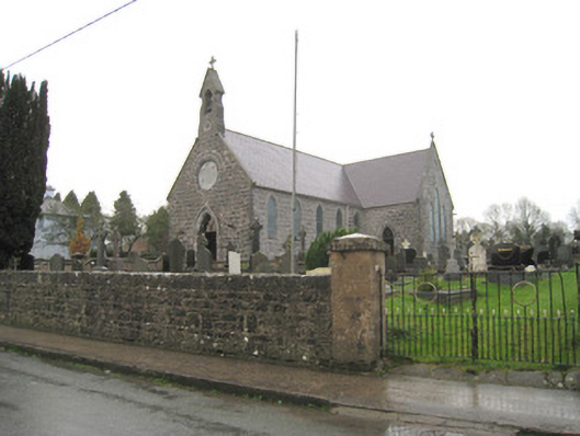 Saint Joseph's Catholic Churchchurch/chapel · 604 yd
 Holy well in ChurchquarterHoly well · 611 yd
 Kilbeheny Castle (in ruins)Castle, tower house · 1.2 mi
 Coopers WoodWood · 2.6 mi
 CastleCastle, ringwork · 2.8 mi
 Eagles StepCliff · 2.9 mi
 Seefin North TopMountain / peak · 3.2 mi
 Combaun WoodsViewpoint · 3.6 mi
 John MandevilleMemorial · 3.7 mi
 Mitchelstown Town MapVisitor information · 3.7 mi
Other information
Photo: Credit not shown in the picture search · Rights wording not checked; contact us if this picture should be removed