
What is recorded here
In pasture, on crest of hill on slight ESE facing slope. Annotated 'Burial ground' on 1840 ed. OSi 6-inch map where it is depicted as an oval shaped earthwork. Only a short section of the SE quadrant of this enclosure survives above ground where it consist of two earthen banks (L 18m) with an intervening fosse (Wth 2.2m; D 0.25m), transected at NE by a road running NW-SE. Inner bank (top Wth 3.05m; int. H 0.15m; ext. H 0.2m) terminated at S by bush visible on aerial images, outer bank (top Wth 1.7m; ext. H 0.4m) has a sharper profile than the inner bank which may suggest that it was a later enclosing feature. Cropmark of circular-shaped enclosure (diam. c. 30m) visible on Digital Globe orthophoto taken between 2011-13 and on Google Earth orthoimage taken 20/01/2020.
See attached sketch plan and Google Earth orthoimages
Compiled by: Caimin O'Brien
Date of upload: 27 October 2021
The monument record does not grant public access. Check the route and ask the landowner before entering private land.
- What survives
- Recorded monument
Places near here
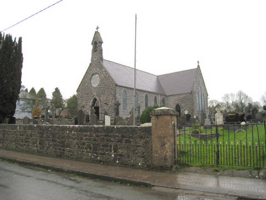 Saint Joseph's Catholic Churchchurch/chapel · 402 yd
 Kilbeheny Church (in ruins)Church · 640 yd
 Holy well in ChurchquarterHoly well · 645 yd
 Grave YardGraveyard · 649 yd
 Kilbeheny Castle (in ruins)Castle, tower house · 1138 yd
 Eagles StepCliff · 2.6 mi
 Coopers WoodWood · 2.7 mi
 Combaun WoodsViewpoint · 3.2 mi
 Seefin North TopMountain / peak · 3.3 mi
 John MandevilleMemorial · 3.4 mi
 CastleCastle, ringwork · 3.4 mi
 Mitchelstown Town MapVisitor information · 3.4 mi
Other information
Photo: Credit not shown in the picture search · Rights wording not checked; contact us if this picture should be removed