What is recorded here
Situated on low hillock with good views of the surrounding countryside, higher ground to W and SW. Ballynamuddagh House 170m to SSE. Small sub-rectangular shaped flat-topped steep-sided mound (top diam. 4m; base diam. 10m; H 2m) of earth and stones with no visible trace of an enclosing fosse or external bank. A livestock track runs across the top of the mound from NW to NE.
Compiled by: Caimin O’Brien
Date of upload: 20 July 2015
Mound barrow, likely dating to the Early Bronze Age. Its location on a prominent hillock suggests it was a ceremonial or funerary monument with potential territorial or ritual significance.
This remains an important historical record, but the official description says the monument is no longer visible or has been destroyed. The monument record does not grant public access. Check the route and ask the landowner before entering private land.
- What survives
- No visible remains or recorded as destroyed
Places near here
 Partially indicatedEnclosure · 913 yd
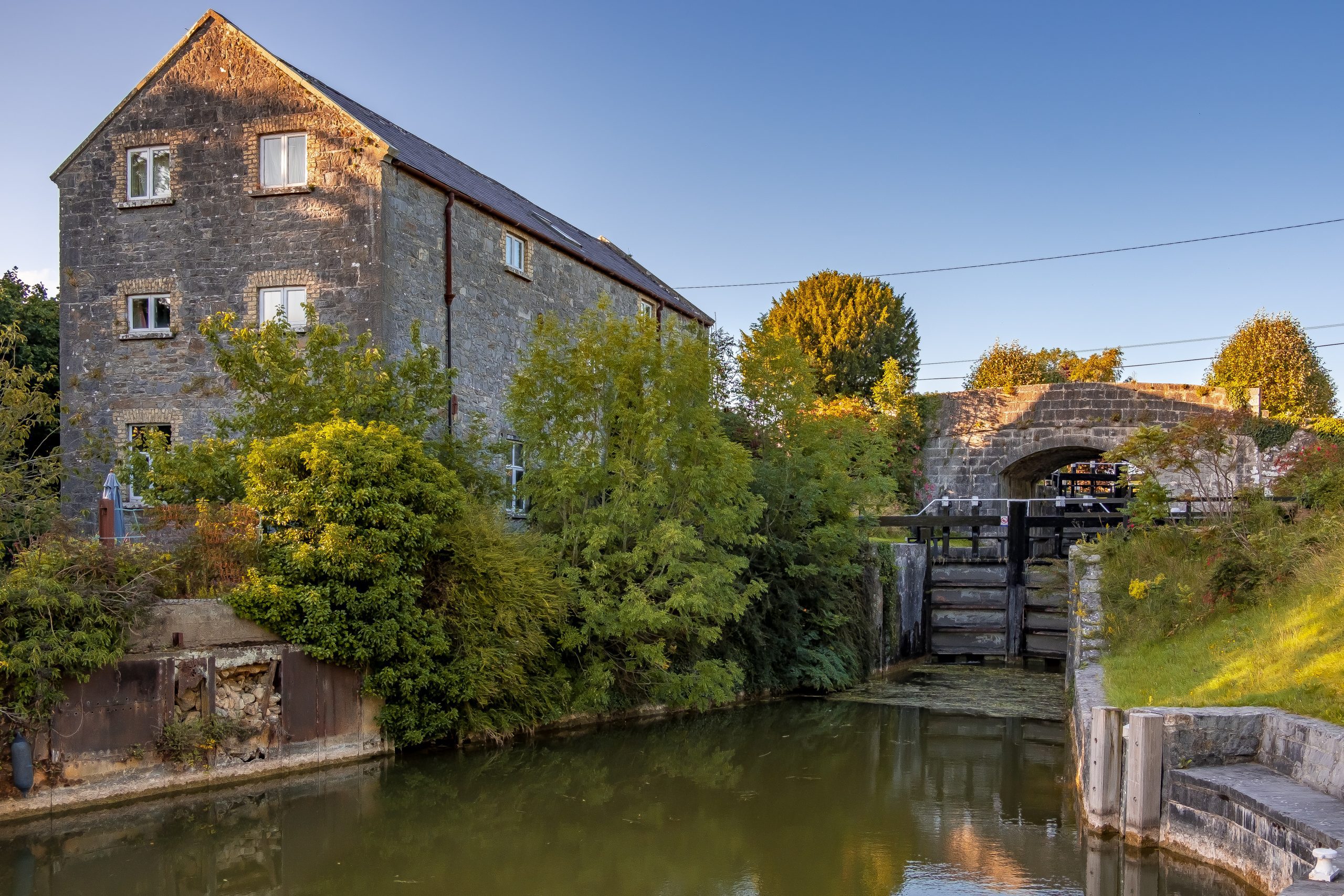 StructureStructure, peatland · 1.4 mi
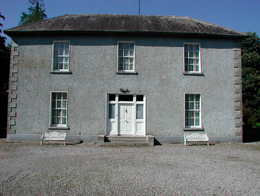 Baltrasna Househouse · 1.4 mi
 Moate HillMountain / peak · 1.5 mi
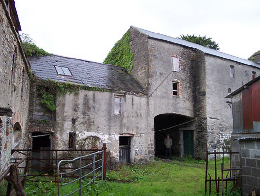 Moate Viewstables, outbuilding · 1.5 mi
 The Bob Traynor GalleryGallery · 1.5 mi
 Charles BianconiMemorial · 1.6 mi
 Bawn in Cartronkeel (clonlonan By.)Bawn · 1.6 mi
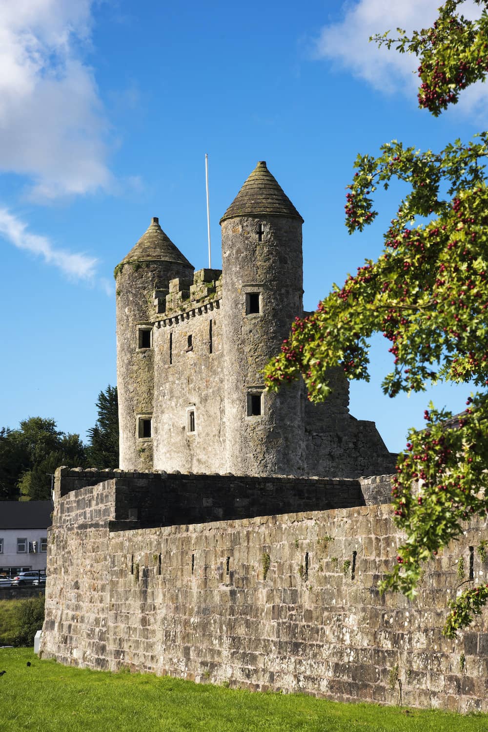 CastleCastle, tower house · 2.0 mi
 Dún na SíMuseum · 2.0 mi
 Inchaloon IslandIslet · 3.7 mi
 European ashEuropean ash · 5.0 mi