
What is recorded here
Barrow in County Longford is a circular mound of earth and stone, eleven and a half metres across at its base and one to one point six metres high, sitting on a level shelf of a west-northwest-facing slope. Cattle have trampled part of it flat, and no surrounding bank or ditch remains visible. It is probably the remains of a burial mound, though the people who built it and the dead it held have not left their names behind.
On a shelf of level ground on a WNW-facing slope. This circular, round-topped mound of earth and stone (diam. at base 11.5m; H 1-1.6m) is partially degraded by cattle trampling over it. There is no trace of an encircling bank or fosse. Probably the remains of a burial mound.
Compiled by: Patrick F. O'Donovan
Date of upload: 26 August 2011
This remains an important historical record, but the official description says the monument is no longer visible or has been destroyed. The monument record does not grant public access. Check the route and ask the landowner before entering private land.
- What survives
- No visible remains or recorded as destroyed
Places near here
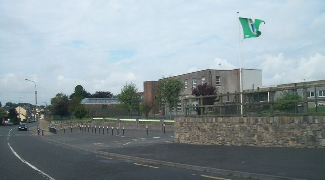 Springlawngates/railings/walls · 775 yd
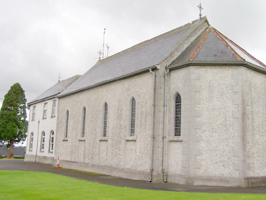 Convent of Mercychurch/chapel · 924 yd
 Bakers FortCastle, ringwork · 1106 yd
 Ecclesiastical enclosure in Ballynacross,toberfelimEcclesiastical enclosure · 1118 yd
 IndicatedEnclosure · 1140 yd
 1798 Monumentmonument · 1534 yd
 Granard MotteMotte-and-bailey castle remains · 1657 yd
 CastleCastle, unclassified · 1669 yd
 CartronfreeMountain / peak · 2.6 mi
 CarrickabaneMountain / peak · 3.4 mi
 Moynagh Upper ForestForest · 4.0 mi
 Carrick RockWood · 4.2 mi
Other information
Photo: Credit not shown in the picture search · Rights wording not checked; contact us if this picture should be removed