What is recorded here
In pasture, on summit of a low hill in undulating pasture, townland boundary with Raheen immediately to SW. Low roughly circular-shaped flat-topped earthen mound (H. c. 0.5m; diam. c. 3m) in W corner of field, the hedgerow of this field marks the townland boundary with Raheen from S-W-N. Outline of earthwork visible on OSi orthoimage taken between 2005-12. Possible mound-barrow visible on Google Earth orthophoto taken 25/04/2021.
See attached photographs courtesy of Paul Gosling and Google Earth orthoimage taken 25/04/2021
Compiled by: Caimin O'Brien based on details provided by Paul Gosling
Date of upload: 2 December 2021
The monument record does not grant public access. Check the route and ask the landowner before entering private land.
- What survives
- Recorded monument
Places near here
 gates/railings/wallsgates/railings/walls · 316 yd
 OutlinedEnclosure, large enclosure · 650 yd
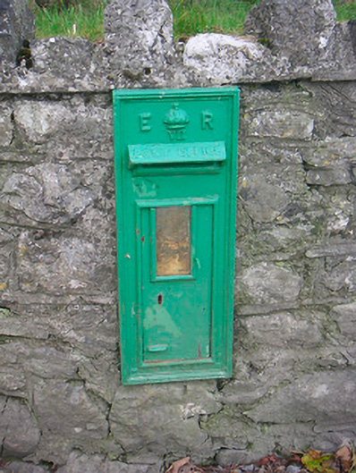 post boxpost box · 952 yd
 CastleCastle, ringwork · 1.4 mi
 Enclosure in MoyvoughlyEnclosure · 1.4 mi
 Japanese pagoda treeJapanese pagoda tree · 1.7 mi
 Bawn in ClareBawn · 1.7 mi
 KnockastiaMountain / peak · 2.1 mi
 Dún na Sí Heritage CentreMuseum · 4.5 mi
 Dún na SíMuseum · 4.5 mi
 Charles BianconiMemorial · 4.6 mi
 Moate HillMountain / peak · 4.6 mi