
What is recorded here
Barrow is a partially levelled earthen mound in County Cork, Ireland, measuring 13m N-S and 17m E-W. It sits on a north-facing slope among four tumuli near a burial ground and cist. The mound has been reduced by tillage, but its circular shape and association with death remain clear.
In tillage, on N-facing slope. One of a group of four tumuli (11819, 11821, 11822) in field to S of burial ground (14062) and cist (11935). Roughly circular earthen mound (13m N-S; 17m E-W; H 1.82m); partially levelled.
The above description is derived from the published 'Archaeological Inventory of County Cork. Volume 4: North Cork' (Dublin: Stationery Office, 2000). In certain instances the entries have been revised and updated in the light of recent research.
Date of upload/revision: 14 January 2009
Mound barrow, likely dating to the Early Bronze Age. It is part of a small burial group, indicating a local tradition of communal or related burials in the landscape.
The monument record does not grant public access. Check the route and ask the landowner before entering private land.
- What survives
- Recorded monument
Places near here
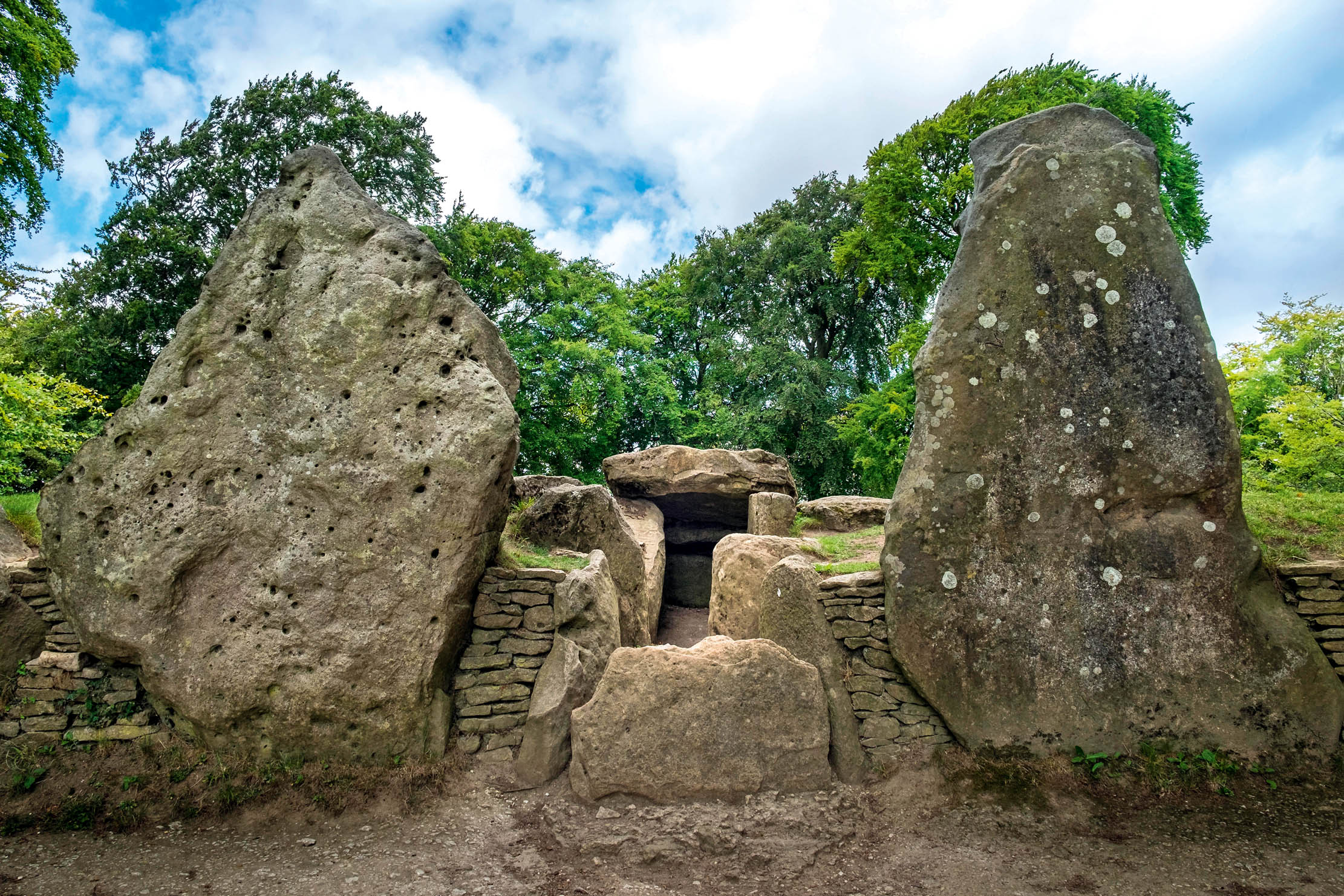 BarrowBarrow, mound barrow · 144 yd
 Old Grave YdBurial ground · 204 yd
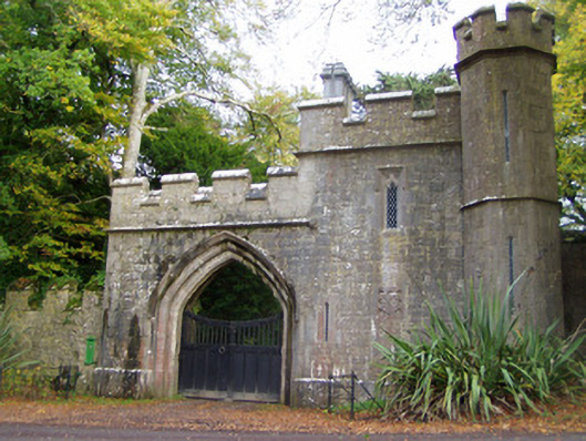 Anne's Grovegate lodge · 369 yd
 Ballywalter Bridgebridge · 414 yd
 Anne's Grove GardensHeritage attraction · 505 yd
 IndicatedCastle, tower house · 1552 yd
 Shanballymore Castle (Site of)Castle, unclassified · 1.0 mi
 Horse Field WoodForest · 3.3 mi
 North Meadow WoodForest · 3.5 mi
 Flat cemetery in Ballyenahan NorthFlat cemetery · 3.7 mi
 Blackwater (Avondhu) WayWalking route · 4.3 mi
 Graveyard in BoherashGraveyard · 4.9 mi
Other information
Photo: Credit not shown in the picture search · Rights wording not checked; contact us if this picture should be removed