What is recorded here
The official Northern Ireland record identifies this as BARROW. Recorded period: PREHISTORIC. Recorded protection: Scheduled. The official map point was placed at the centre of the recorded archaeological site from the source map reference.
Prehistoric barrow; likely dates to the Neolithic or Bronze Age. Its scheduling indicates recognition of its archaeological importance, though specific details of its type or wider significance are not provided.
The monument record does not grant public access. Check the route and ask the landowner before entering private land.
- What survives
- Recorded monument
Places near here
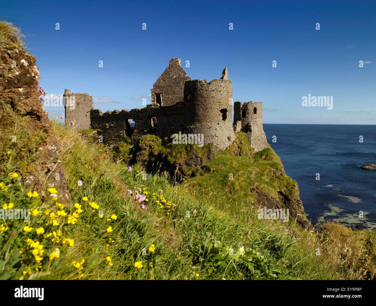 A.P. SITEA.P. SITE, 2 ENCLOSURES · 338 yd
 EARTHWORK ENCLOSURE: THE TWIN TOWERS (c.f. 015:002) in CoshkibEARTHWORK ENCLOSURE: THE TWIN TOWERS (c.f. 015:002) · 1336 yd
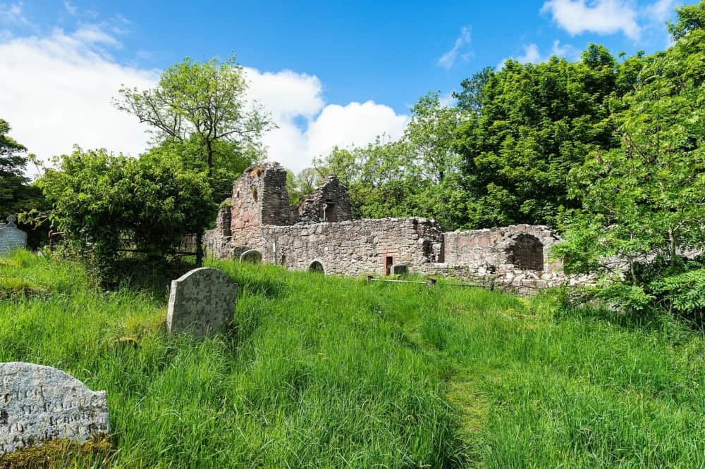 CHURCH in CushendallCHURCH · 1.2 mi
 HOUSE: OLD CASTLE in LaydHOUSE: OLD CASTLE · 1.3 mi
 Layd Old Church (ruins)Ruins · 1.5 mi
 The Glens of AntrimViewpoint · 1.5 mi
 Red Bay CastleArchaeological place · 2.5 mi
 LurigethanMountain / peak · 2.5 mi
 TievebulliaghMountain / peak · 2.5 mi
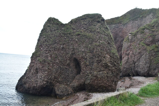 Caves of CushendunHeritage attraction · 2.6 mi
 Ballypatrick Forest Trails - 1 Cairn TrailWalking route · 4.1 mi
 Ballypatrick ForestForest · 4.7 mi