What is recorded here
The official Northern Ireland record identifies this as BARROW. Recorded period: PREHISTORIC; BRONZE AGE. The official map point was placed at the centre of the recorded archaeological site from the source map reference.
Bronze Age barrow; a burial mound reflecting early ceremonial and funerary practices in the region.
The monument record does not grant public access. Check the route and ask the landowner before entering private land.
- What survives
- Recorded monument
Places near here
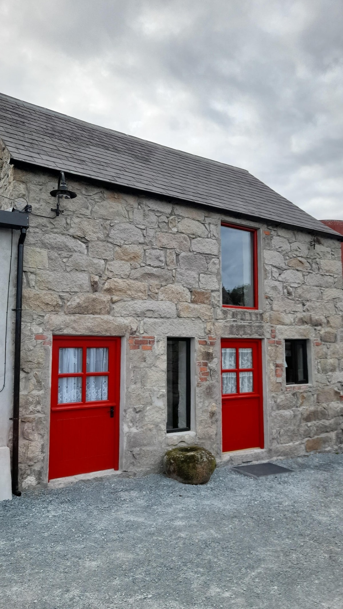 ENCLOSURE in BallymartinENCLOSURE · 497 yd
 ENCLOSURE in Ballymartin; KilgreelENCLOSURE · 1455 yd
 Templepatrick Railway StationHouse · 1739 yd
 Patterson's Spade MillMill · 1.0 mi
 C17th CASTLE on MONASTIC SITE : ORDER of ST. JOHN OF JERUSALEM, UPTON CASTLE, UPTON MAUSOLEUM, HUGH DE LOGAN'S TOWN in TemplepatrickC17th CASTLE on MONASTIC SITE : ORDER of ST. JOHN OF JERUSALEM, UPTON CASTLE, UPTON MAUSOLEUM, HUGH DE LOGAN'S TOWN · 1.1 mi
 Castle UptonCastle · 1.2 mi
 Sentry Hill Historic HouseMuseum · 3.7 mi
 Squires HillMountain / peak · 5.5 mi
 1971 Scottish soldiers' killingsmurder · 5.6 mi
 Bellevue Area of Special Scientific InterestCliff · 5.8 mi
 Cave Hill TrailWalking route · 6.0 mi
 CavehillMountain / peak · 6.0 mi