What is recorded here
On the N-facing slope of a low E-W ridge. Circular grass-covered area (diam. 17.3m E-W; 16.6m N-S) defined by a broad earthen bank (Wth 4-5m; int. H 0.1-0.3m; ext. H 0.2-0.6m). There is no visible fosse or identifiable entrance (ext. diam. 22.2m N-S; 19.7m E-W). Rath (RO022-079----) is c. 180m to the SW.
Compiled by: Michael Moore
Date of upload: 24 August 2010
Embanked barrow, likely dating to the Early Bronze Age. This type of monument represents a significant funerary or ritual feature associated with early agrarian communities in the region.
The monument record does not grant public access. Check the route and ask the landowner before entering private land.
- What survives
- Recorded monument
Places near here
 Lisnacross FortFairy fort / earthen ringfort · 350 yd
 Embanked enclosureFairy fort / earthen ringfort · 394 yd
 RoadRoad, road/trackway · 1265 yd
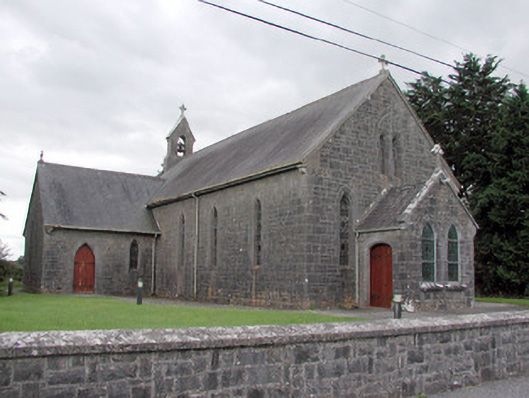 Saint Catherine's Catholic Churchchurch/chapel · 1.3 mi
 CastleCastle, unclassified · 1.5 mi
 Cruachan Aí Heritage CentreMuseum · 1.5 mi
 European ashEuropean ash · 1.7 mi
 ToberagullaSpring · 1.7 mi
 CastlerubyCastle, unclassified · 3.0 mi
 War of Independence Commemorative Military MemorialMemorial · 3.2 mi
 Sweet ChestnutSweet Chestnut · 6.7 mi
 Silver IslandIslet · 8.7 mi