What is recorded here
In pasture, on top of a natural rise. A circular area (diam. 3.4m) defined by an earthen bank (int. H 0.35m; ext. H 0.3m). A slight reduction in the height of the bank along the W arc may indicate an entrance. The inner face of the bank slopes gently down towards the interior leaving only a small level central area (diam. 0.65m). There is no trace of the fosse (Wth 2m; D 0.6m) which was evident along the N arc during a previous inspection (pers. comm. M. Keane and J. Farrelly). Listed by Farrelly and Keane (2002, 98).
The above description is derived from the published 'Archaeological Inventory of County Sligo' compiled by Ursula Egan, Elizabeth Byrne, Mary Sleeman with Sheila Ronan and Connie Murphy (Dublin Stationery Office, 2005).
Date of upload: 18 January 2008
A Neolithic embanked barrow; likely dates to the Early to Middle Neolithic period (c. 4000–3000 BCE). Such barrows are significant as early funerary monuments, reflecting communal burial practices and social organisation in prehistoric Ireland.
This remains an important historical record, but the official description says the monument is no longer visible or has been destroyed. The monument record does not grant public access. Check the route and ask the landowner before entering private land.
- What survives
- No visible remains or recorded as destroyed
Places near here
 KilnKiln, lime · 686 yd
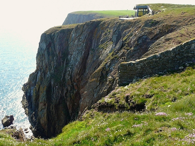 Cliff-edge fort in Carrigans UpperCliff-edge fort · 700 yd
 Enclosure in Carrigans UpperEnclosure · 737 yd
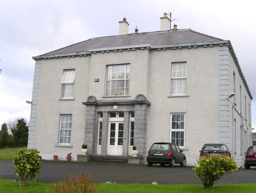 Earlsfieldhouse · 1670 yd
 RathdoonyCastle, motte · 1.2 mi
 Brother WalfridMemorial · 1.3 mi
 Ballymote CastleCastle · 1.4 mi
 ElderElder · 2.8 mi
 European ashEuropean ash · 3.2 mi
 James MorrisonMemorial · 3.4 mi
 Caves of KeshCave · 4.3 mi
 School CaveCave · 4.4 mi