What is recorded here
Located on a slight NE-facing slope. This monument is not depicted on any map but it can be seen on Google Earth (05/10/2009). It is a subcircular grass-covered area (dims 24m N-S; 21m E-W; int. diam. c. 10m) defined by a wide earthen bank (at N: Wth of base 15m; int. H 0.5; ext. H 0.6m) which is reduced to an external scarp (H 0.5m) at S. There is no visible fosse or entrance (ext. dim. 35m E-W).
Compiled by: Michael Moore
Date of upload: 22 November 2021
The monument record does not grant public access. Check the route and ask the landowner before entering private land.
- What survives
- Recorded monument
Places near here
 Ribstown fortFairy fort / earthen ringfort · 411 yd
 Enclosure in Merrywell (ratoath By.)Enclosure · 807 yd
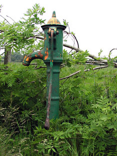 water pumpwater pump · 998 yd
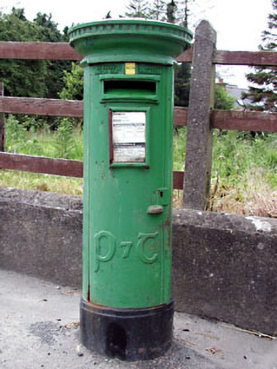 post boxpost box · 1010 yd
 CastleCastle, motte · 1.9 mi
 Killeen CastleCastle, tower house · 2.6 mi
 Lismahon 1798 MemorialMonument · 2.8 mi
 Dunsany WoodWood · 3.0 mi
 Laurel WoodsWood · 3.2 mi
 MullaghMountain / peak · 3.8 mi
 1798 MemorialMemorial · 3.8 mi
 Larchil Arcadian GardensHeritage attraction · 5.2 mi