What is recorded here
At foot of S slope of Slievenamon mountain, in flat terrain, under pasture. Woodland to N of E-W field boundary. Raised oval area (diam. 15m N-S; 17.3m E-W) defined by a broad earthen bank (Wth 4.3m; int. H 0.28m; ext. H 1.86m) best preserved in SW quadrant and external fosse (Wth 3.5m; D 0.3-0.45m). Barrow has suffered from cattle erosion and root damage from trees growing on the bank. Fosse is not visible from SE-E-N. Field clearance dumped along edge of barrow in NE and SE sectors. Bank largely reduced to scarp in N sector.
Compiled by: Jean Farrelly
Date of upload: 26 August 2011
Neolithic embanked barrow, dating to c. 4000–2500 BCE. This type of monument is significant as an early form of burial and ceremonial earthwork, reflecting the funerary practices and social organisation of Neolithic communities in Ireland.
The monument record does not grant public access. Check the route and ask the landowner before entering private land.
- What survives
- Recorded monument
Places near here
 Bawn in KilcashBawn · 470 yd
 Kilcash WoodForest · 522 yd
 Concentric enclosure in KilcashConcentric enclosure · 810 yd
 Kilcash CastleCastle · 881 yd
 Enclosure in KilcashEnclosure · 953 yd
 Kilcash Church (in ruins)Church · 1025 yd
 Carrigaloe RockNamed rock · 1473 yd
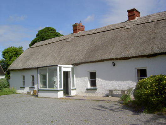 Ballynacloona Cottagehouse · 1.1 mi
 Wild CherryWild Cherry · 1.3 mi
 Curraghdobbin HillMountain / peak · 2.3 mi
 Thomas KielyMemorial · 2.3 mi
 SlievenamonMountain / peak · 3.0 mi